Police Helicopter to Teignbridge, Greenway Lane
Saturday, 21 February 2026 | 15:02 | From Exeter International Airport
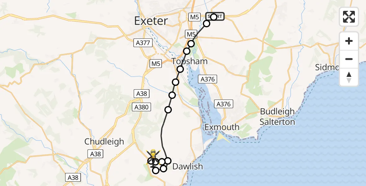
On Saturday, 21 February 2026 at 15:02, a Police Helicopter departed from Exeter International Airport to Teignbridge. It was the Police Helicopter with registration number G-CPAS. The flight lasted 10 minutes. During that period, the aircraft travelled 15 miles at an average speed of 89 miles per hour at a maximum altitude of 1350 feet.
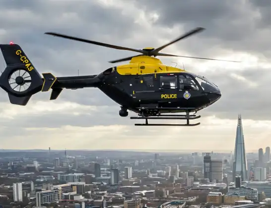
Helicopter: G-CPAS
The helicopter G-CPAS is used by the British police. The helicopter is deployed in pursuits, missing persons cases and other incidents where a helicopter provides added value.
Photo: Tony Melony
15 miles
1350 feet
89 mph
10 minutes
15:02
15:12

Route
Greenway Lane, Devon and Torbay15:12
Teignbridge, Devon and Torbay15:12
Dawlish, Teignbridge15:10
Teignbridge, Devon and Torbay15:10
Dawlish, Teignbridge15:09
Holcombe, Dawlish15:08
Dawlish, Teignbridge15:08
Teignbridge, Devon and Torbay15:06
Kenton, Teignbridge15:06
Teignbridge, Devon and Torbay15:05
Exminster, Teignbridge15:05
Topsham, Exeter15:04
Clyst St. George, Topsham15:04
Clyst St Mary, East Devon15:03
Clyst Honiton, East Devon15:02
Exeter International Airport, Exeter, Devon15:02
Live flights
Police Helicopter on its way from RAF Benson12 Jul 22:54
Police Helicopter on its way from Dundrod12 Jul 22:50
Police Helicopter on its way from East Ardsley12 Jul 22:44
Today
Air Ambulance Helicopter to Glasgow Airport12 Jul 22:48
Air Ambulance Helicopter to Norwich Airport12 Jul 22:27
Air Ambulance Helicopter to Northrepps Aerodrome12 Jul 22:23
Police Helicopter to Harborough, Sulby Road12 Jul 22:20
Air Ambulance Helicopter to Derriford Hospital12 Jul 22:12
Police Helicopter to Manchester Barton Aerodrome12 Jul 22:11
Air Ambulance Helicopter to Northrepps Aerodrome12 Jul 22:03
Flights Teignbridge
Police Helicopter to East Devon, A3029 Apr 20:28
Helicopter flights on your website?
You can easily display helicopter flights on your own website. Use the embed code.
