Air Ambulance Helicopter to Takeley, Takeley
Saturday, 21 February 2026 | 9:22 | From North Weald Airfield
On Saturday, 21 February 2026 at 9:22, a Air Ambulance Helicopter departed from North Weald Airfield to Takeley. It was the Air Ambulance Helicopter with registration number G-HHEM. The flight lasted 13 minutes. During that period, the aircraft travelled 15 miles at an average speed of 71 miles per hour at a maximum altitude of 1050 feet.
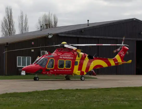
Helicopter: G-HHEM
The helicopter G-HHEM is used as a air ambulance helicopter. The main purpose of this aircraft is to transport a Mobile Medical Team to an incident as quickly as possible, enabling the trauma doctor to provide immediate first aid on site. The aircraft is flying this flight as Air Ambulance Helicopter.
Photo: Ronnie Macdonald
16 miles
1050 feet
71 mph
13 minutes
09:22
09:35

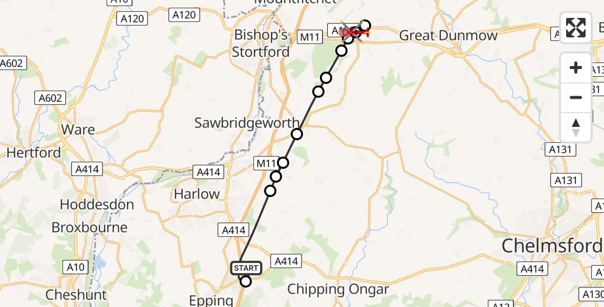
Route
Takeley, Uttlesford09:35
Takeley, Uttlesford09:34
Little Canfield, Uttlesford09:33
Takeley, Uttlesford09:32
Takeley Street, Uttlesford09:32
Uttlesford, Essex09:32
Hatfield Broad Oak, Uttlesford09:31
Hatfield Heath, Uttlesford09:31
Sheering, Epping Forest09:30
Matching Tye, Epping Forest09:30
Threshers Bush, Epping Forest09:30
North Weald Bassett, Epping Forest09:28
North Weald Airfield, Epping, Essex09:27
North Weald Airfield, Epping, Essex09:22
Today
Police Helicopter to Epping Forest, Green Lane26 Feb 23:43
Flights Takeley
Air Ambulance Helicopter to Takeley, Takeley21 Feb 09:22
Helicopter flights on your website?
You can easily display helicopter flights on your own website. Use the embed code.
