Air Ambulance Helicopter to Bracebridge, Holly Street
Friday, 20 February 2026 | 11:22 | From Aubourn
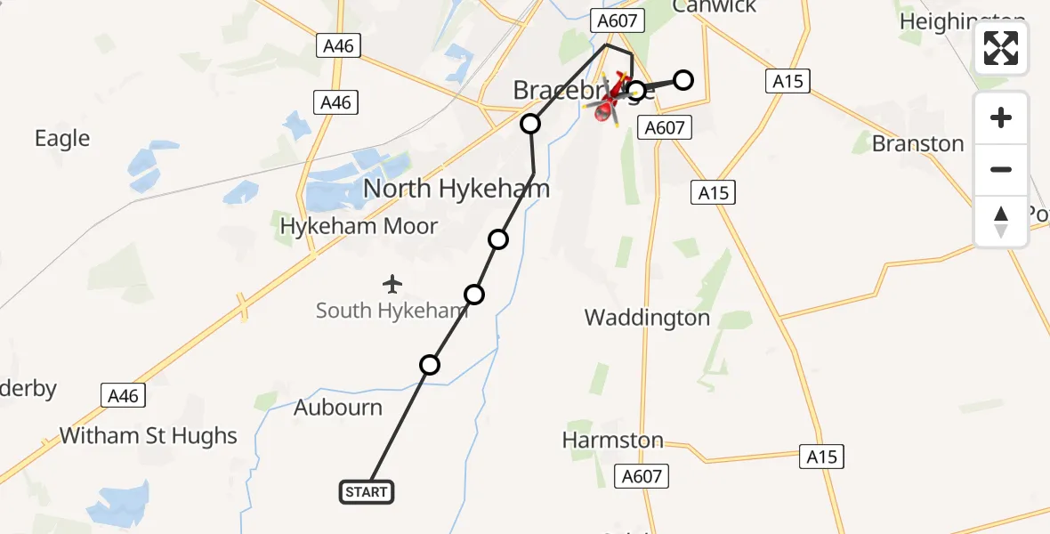
On Friday, 20 February 2026 at 11:22, a Air Ambulance Helicopter departed from Aubourn to Bracebridge. It was the Air Ambulance Helicopter with registration number G-DRLA. The flight lasted 3 minutes. During that period, the aircraft travelled 8 miles at an average speed of 144 miles per hour at a maximum altitude of 1100 feet.
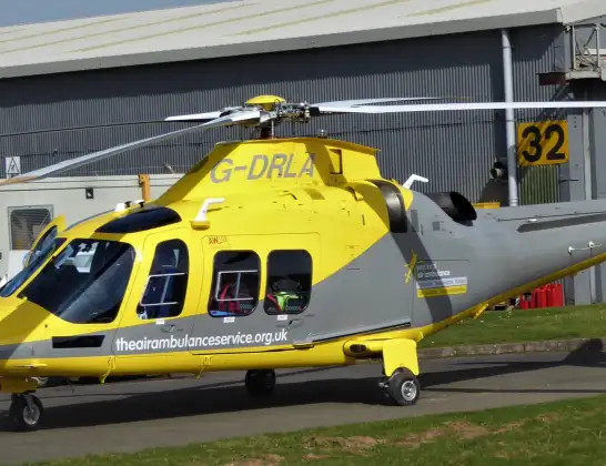
Helicopter: G-DRLA
The helicopter G-DRLA is used as an ambulance helicopter. The helicopter is equipped with a stretcher for transporting patients. The helicopter is often used to transport to hospitals.
Photo: Alec Wilson
8 miles
1100 feet
144 mph
4 minutes
11:22
11:25

Route
Holly Street, Lincoln11:25
Bracebridge Heath, North Kesteven11:25
North Kesteven, Greater Lincolnshire11:25
Bracebridge, Lincoln11:23
North Hykeham, North Kesteven11:23
Hykeham Moor, North Kesteven11:23
North Kesteven, Greater Lincolnshire11:22
Moor Lane, North Kesteven11:22
Live flights
Today
Police Helicopter to Epping Forest, Green Lane26 Feb 23:43
Flights Bracebridge
Flights Aubourn
Helicopter flights on your website?
You can easily display helicopter flights on your own website. Use the embed code.
