Air Ambulance Helicopter to Yeovil, Westbourne Grove
Thursday, 19 February 2026 | 18:53 | From Henstridge Airfield
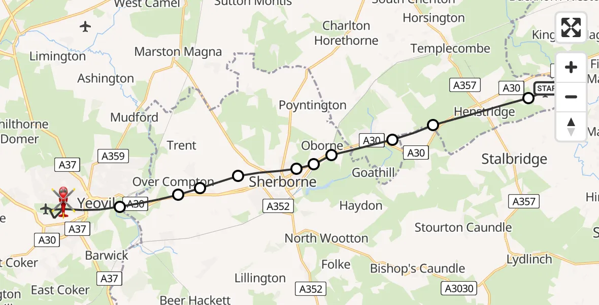
On Thursday, 19 February 2026 at 18:53, a Air Ambulance Helicopter departed from Henstridge Airfield to Yeovil. It was the Air Ambulance Helicopter with registration number G-DSAA. The flight lasted 9 minutes. During that period, the aircraft travelled 15 miles at an average speed of 94 miles per hour at a maximum altitude of 1375 feet.
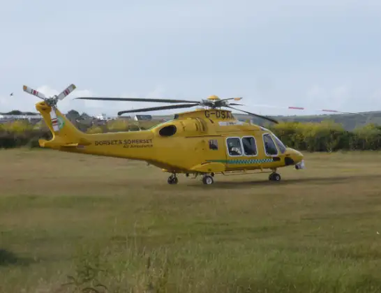
Helicopter: G-DSAA
The helicopter G-DSAA is used as a air ambulance helicopter. The main purpose of this aircraft is to transport a Mobile Medical Team to an incident as quickly as possible, enabling the trauma doctor to provide immediate first aid on site. The aircraft is flying this flight as Air Ambulance Helicopter.
Photo: Andrew Bone
15 miles
1375 feet
94 mph
10 minutes
18:53
19:02

Route
Westbourne Grove, 19:02
Westbourne Grove, 19:02
Yeovil18:59
Over Compton18:58
Nether Compton18:58
Castleton18:58
Sherborne18:57
Castleton18:57
Oborne18:56
Milborne Port18:56
Purse Caundle18:55
Henstridge18:54
Henstridge Airfield, Templecombe, Somerset18:53
Live flights
Today
Police Helicopter to Falkirk02:12:08
Flights Yeovil
Police Helicopter to Penperlleni, Usk Road5 Jun 10:58
Police Helicopter to Yeovil, Garrett Road5 Jun 08:07
Air Ambulance Helicopter to Yeovil, Tithe Court21 Apr 19:59
Helicopter flights on your website?
You can easily display helicopter flights on your own website. Use the embed code.
