Air Ambulance Helicopter to North Sea
Thursday, 19 February 2026 | 16:40 | From North Atlantic Ocean
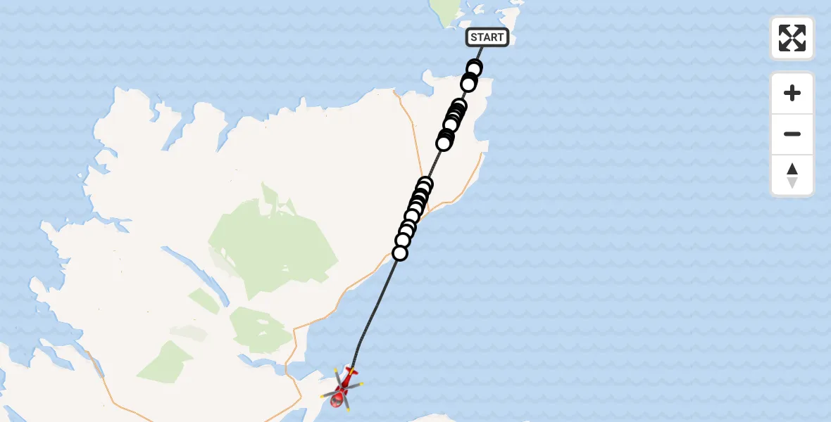
On Thursday, 19 February 2026 at 16:40, a Air Ambulance Helicopter departed from North Atlantic Ocean to North Sea. It was the Air Ambulance Helicopter with registration number G-GSAS. The flight lasted 38 minutes. During that period, the aircraft travelled 72 miles at an average speed of 115 miles per hour at a maximum altitude of 2275 feet.
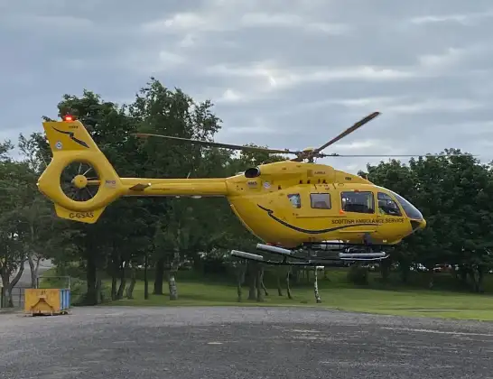
Helicopter: G-GSAS
The helicopter G-GSAS is used as a air ambulance helicopter. The main purpose of this aircraft is to transport a Mobile Medical Team to an incident as quickly as possible, enabling the trauma doctor to provide immediate first aid on site. The aircraft is flying this flight as Air Ambulance Helicopter.
Photo: Scanbus
73 miles
2275 feet
115 mph
38 minutes
16:40
17:17

Route
North Sea, 17:17
North Sea17:03
Berriedale17:02
Newport17:01
Ramscraig17:01
Dunbeath17:00
Houstry16:59
Smerral16:59
Houstry16:58
Buoltach16:58
Smerral16:58
Latheron16:57
Sheppardsdown16:56
Watten16:52
Bilbster16:52
Watten16:51
Bilbster16:51
East Watten16:50
Hastigrow16:50
Lyth16:49
Sortat16:49
Lochside16:49
Sortat16:48
Alterwall16:48
Slickly16:45
Canisbay16:45
Mey16:45
North Atlantic Ocean16:44
Stroma Airstrip, Orkney16:43
North Atlantic Ocean, 16:40
Live flights
Police Helicopter on its way from East Ardsley13 Jun 23:37
Today
Police Helicopter to Manchester Barton Aerodrome13 Jun 23:02
Coastguard Helicopter to Solent Airport13 Jun 22:49
Police Helicopter to North Weald Airfield13 Jun 22:30
Air Ambulance Helicopter to Welshpool13 Jun 22:22
Helicopter flights on your website?
You can easily display helicopter flights on your own website. Use the embed code.
