Air Ambulance Helicopter to Derriford Hospital, Derriford Hospital
Thursday, 19 February 2026 | 14:17 | From Ipplepen
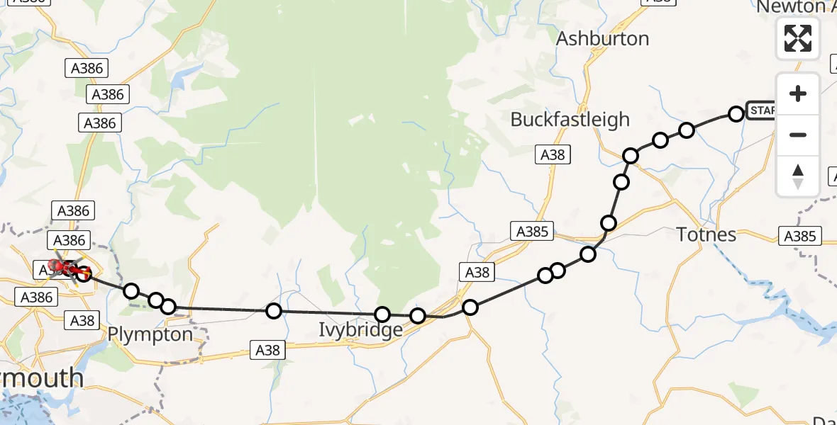
On Thursday, 19 February 2026 at 14:17, a Air Ambulance Helicopter departed from Ipplepen to Derriford Hospital. It was the Air Ambulance Helicopter with registration number G-DAAS. The flight lasted 13 minutes. During that period, the aircraft travelled 23 miles at an average speed of 109 miles per hour at a maximum altitude of 1850 feet.
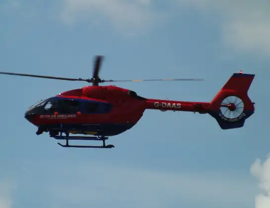
Helicopter: G-DAAS
The helicopter G-DAAS is used as a air ambulance helicopter. The main purpose of this aircraft is to transport a Mobile Medical Team to an incident as quickly as possible, enabling the trauma doctor to provide immediate first aid on site. The aircraft is flying this flight as Air Ambulance Helicopter.
Photo: James
24 miles
1850 feet
109 mph
13 minutes
14:17
14:30

Route
Derriford Hospital, Plymouth14:30
Derriford Hospital, Plymouth14:29
Plymouth14:29
Plympton, Plymouth14:28
Sparkwell, South Hams14:27
Colebrook Village, Plymouth14:27
Sparkwell, South Hams14:25
South Hams, Devon and Torbay14:24
Bittaford, South Hams14:23
Ugborough, South Hams14:23
Avonwick, South Hams14:21
South Hams, Devon and Torbay14:21
Avonwick, South Hams14:21
Rattery, South Hams14:20
Dartington, South Hams14:20
South Hams, Devon and Torbay14:19
Landscove, South Hams14:19
Staverton, South Hams14:19
Broadhempston, Teignbridge14:18
Orley Road, Teignbridge14:17
Live flights
Today
Flights Ipplepen
Air Ambulance Helicopter to Ipplepen, Orley Road19 Feb 13:05
Helicopter flights on your website?
You can easily display helicopter flights on your own website. Use the embed code.
