Air Ambulance Helicopter to Malmesbury, King's Wall
Wednesday, 18 February 2026 | 14:56 | From Wiltshire Air Ambulance
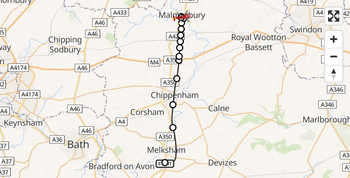
On Wednesday, 18 February 2026 at 14:56, a Air Ambulance Helicopter departed from Wiltshire Air Ambulance to Malmesbury. It was the Air Ambulance Helicopter with registration number G-WLTS. The flight lasted 16 minutes. During that period, the aircraft travelled 19 miles at an average speed of 75 miles per hour at a maximum altitude of 1700 feet.
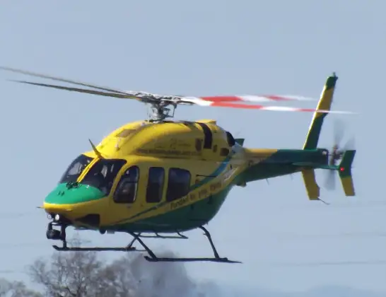
Helicopter: G-WLTS
The helicopter G-WLTS is used as a air ambulance helicopter. The main purpose of this aircraft is to transport a Mobile Medical Team to an incident as quickly as possible, enabling the trauma doctor to provide immediate first aid on site. The aircraft is flying this flight as Air Ambulance Helicopter.
Photo: James
20 miles
1700 feet
75 mph
16 minutes
14:56
15:12

Route
King's Wall, 15:12
Malmesbury15:12
Milbourne15:11
Malmesbury15:09
Milbourne15:08
Malmesbury15:08
Burton Hill15:07
Corston15:07
Startley15:07
St. Paul Malmesbury Without15:07
Startley15:06
Upper Seagry15:06
Sutton Benger15:06
Kington Langley15:05
Chippenham15:04
Lacock15:03
Commerce Way, 15:01
Wiltshire Air Ambulance14:56
Today
Police Helicopter to Epping Forest, Green Lane26 Feb 23:43
Flights Malmesbury
Helicopter flights on your website?
You can easily display helicopter flights on your own website. Use the embed code.
