Air Ambulance Helicopter to Cotswold Airport
Wednesday, 18 February 2026 | 10:49 | From Cotswold Airport
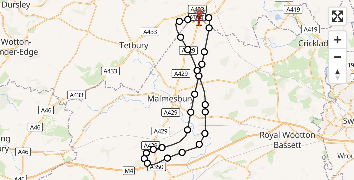
On Wednesday, 18 February 2026 at 10:49, a Air Ambulance Helicopter departed from Cotswold Airport to Cotswold Airport. It was the Air Ambulance Helicopter with registration number G-LAAA. The flight lasted 19 minutes. During that period, the aircraft travelled 28 miles at an average speed of 91 miles per hour at a maximum altitude of 2175 feet.
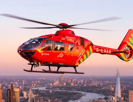
Helicopter: G-LAAA
The helicopter G-LAAA is used as a air ambulance helicopter. The main purpose of this aircraft is to transport a Mobile Medical Team to an incident as quickly as possible, enabling the trauma doctor to provide immediate first aid on site. The aircraft is flying this flight as Air Ambulance Helicopter.
Photo: Ton Snoei
29 miles
2175 feet
91 mph
19 minutes
10:49
11:08

Route
Cotswold Airport, Cirencester, Gloucestershire11:08
Cotswold Airport, Cirencester, Gloucestershire11:06
Cotswold Airport, Cirencester, Gloucestershire11:05
Rodmarton, Cotswold11:05
Cotswold11:04
Crudwell11:03
Hankerton11:03
Charlton11:01
Lea11:01
Little Somerford11:00
Great Somerford11:00
Startley10:59
Upper Seagry10:58
Stanton St Quintin10:57
Hullavington10:57
Hullavington Airfield, Hullavington10:57
Stanton St Quintin10:56
St. Paul Malmesbury Without10:56
Startley10:55
Little Somerford10:54
Lea10:54
Charlton10:53
Hankerton10:52
Crudwell10:52
Oaksey10:51
Kemble, Cotswold10:50
Cotswold Airport, Cirencester, Gloucestershire10:49
Cotswold Airport, Cirencester, Gloucestershire10:49
Live flights
Today
Helicopter flights on your website?
You can easily display helicopter flights on your own website. Use the embed code.
