Air Ambulance Helicopter to Wishaw, Cleland Road
Wednesday, 18 February 2026 | 10:28 | From City of Edinburgh
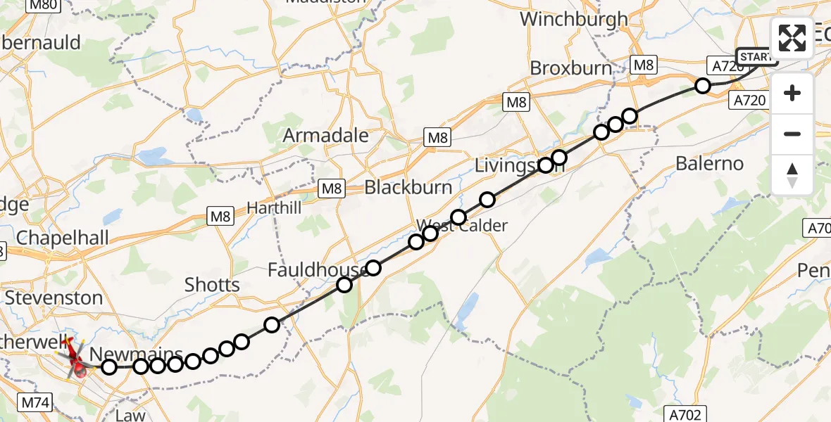
On Wednesday, 18 February 2026 at 10:28, a Air Ambulance Helicopter departed from City of Edinburgh to Wishaw. It was the Air Ambulance Helicopter with registration number G-ISAS. The flight lasted 15 minutes. During that period, the aircraft travelled 30 miles at an average speed of 120 miles per hour at a maximum altitude of 2225 feet.
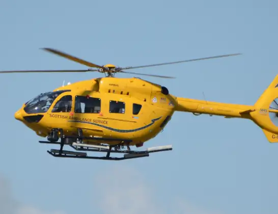
Helicopter: G-ISAS
The helicopter G-ISAS is used as a air ambulance helicopter. The main purpose of this aircraft is to transport a Mobile Medical Team to an incident as quickly as possible, enabling the trauma doctor to provide immediate first aid on site. The aircraft is flying this flight as Air Ambulance Helicopter.
Photo: Jonathan Payne
30 miles
2225 feet
120 mph
15 minutes
10:28
10:43

Route
Cleland Road, 10:43
Wishaw10:40
Newmains10:40
Allanton10:40
Bonkle10:39
Lodgehill10:39
Sunnyside10:39
Brow Farm10:39
Spoutscross10:38
Knowton Farm10:38
Fauldhouse10:37
Breich10:36
Addiewell10:35
Blackburn10:35
West Calder10:35
Polbeth10:34
Livingston10:33
Mid Calder10:33
East Calder10:32
Wilkieston10:32
City of Edinburgh10:32
Ratho, City of Edinburgh10:30
Gylemuir Road, 10:28
Live flights
Today
Flights Wishaw
Air Ambulance Helicopter to Wishaw, Cleland Road18 Feb 10:28
Police Helicopter to Wishaw, Thrashbush Road22 Jan 08:56
Helicopter flights on your website?
You can easily display helicopter flights on your own website. Use the embed code.
