Air Ambulance Helicopter to North Weald Airfield
Tuesday, 17 February 2026 | 12:08 | From Loughton
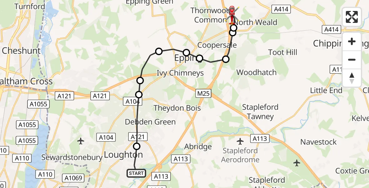
On Tuesday, 17 February 2026 at 12:08, a Air Ambulance Helicopter departed from Loughton to North Weald Airfield. It was the Air Ambulance Helicopter with registration number G-EHAT. The flight lasted 8 minutes. During that period, the aircraft travelled 9 miles at an average speed of 65 miles per hour at a maximum altitude of 925 feet.
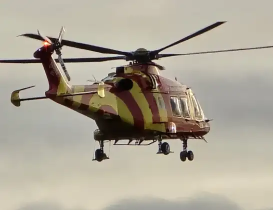
Helicopter: G-EHAT
The helicopter G-EHAT is used as a air ambulance helicopter. The main purpose of this aircraft is to transport a Mobile Medical Team to an incident as quickly as possible, enabling the trauma doctor to provide immediate first aid on site. The aircraft is flying this flight as Air Ambulance Helicopter.
Photo: By Steve Knight
10 miles
925 feet
65 mph
9 minutes
12:08
12:17

Route
North Weald Airfield, Epping, Essex12:17
North Weald Airfield, Epping, Essex12:16
North Weald Airfield, Epping, Essex12:14
North Weald Bassett, Epping Forest12:14
Coopersale, Epping Forest12:13
Coopersale Street, Epping12:12
Ivy Chimneys, Epping12:12
Ivy Chimneys, Epping Forest12:12
Epping Forest, Essex12:11
Debden Green, Epping Forest12:11
Debden Green, Loughton12:10
Alderton Hill, Epping Forest12:09
Loughton, Epping Forest12:08
Live flights
Police Helicopter on its way from RAF Benson12 Jul 22:54
Police Helicopter on its way from Dundrod12 Jul 22:50
Police Helicopter on its way from East Ardsley12 Jul 22:44
Today
Air Ambulance Helicopter to Glasgow Airport12 Jul 22:48
Air Ambulance Helicopter to Norwich Airport12 Jul 22:27
Air Ambulance Helicopter to Northrepps Aerodrome12 Jul 22:23
Police Helicopter to Harborough, Sulby Road12 Jul 22:20
Air Ambulance Helicopter to Derriford Hospital12 Jul 22:12
Police Helicopter to Manchester Barton Aerodrome12 Jul 22:11
Air Ambulance Helicopter to Northrepps Aerodrome12 Jul 22:03
Flights Loughton
Air Ambulance Helicopter to Loughton, Traps Hill16 Jun 16:38
Police Helicopter to Loughton, Manor Road8 Jun 20:43
Police Helicopter to Loughton, Main path25 Apr 16:43
Police Helicopter to Sewardstonebury, Bury Road17 Apr 10:17
Helicopter flights on your website?
You can easily display helicopter flights on your own website. Use the embed code.
