Air Ambulance Helicopter to Blackpool Airport
Tuesday, 17 February 2026 | 11:54 | From North Turton
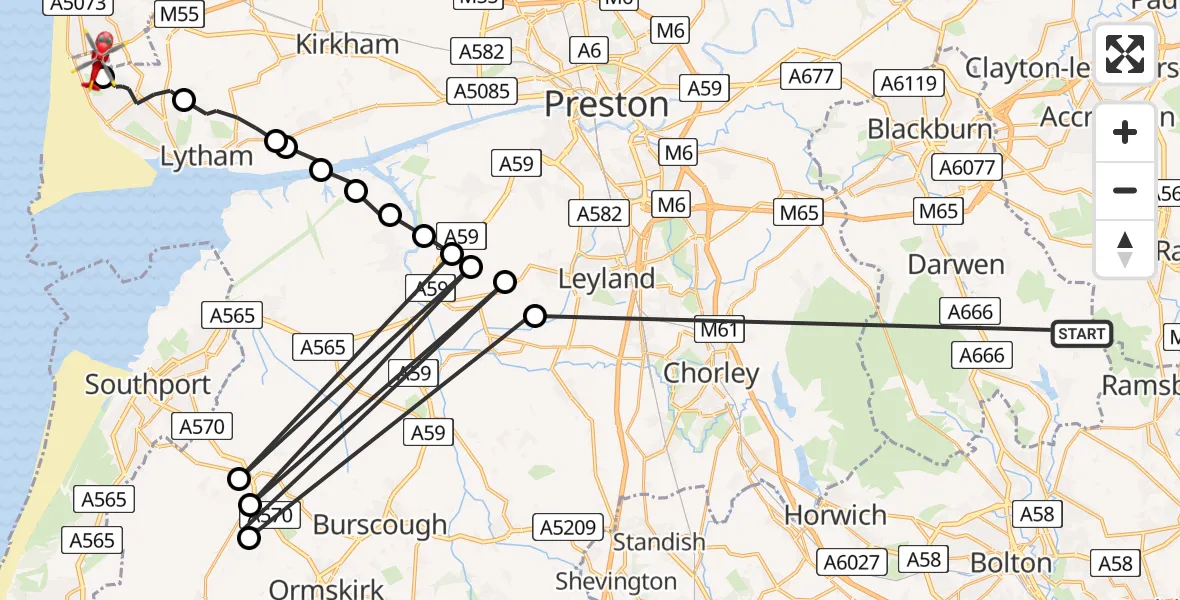
On Tuesday, 17 February 2026 at 11:54, a Air Ambulance Helicopter departed from North Turton to Blackpool Airport. It was the Air Ambulance Helicopter with registration number G-NWAA. The flight lasted 8 minutes. During that period, the aircraft travelled 82 miles at an average speed of 581 miles per hour at a maximum altitude of 950 feet.
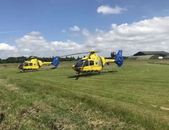
Helicopter: G-NWAA
The helicopter G-NWAA is used as a air ambulance helicopter. The main purpose of this aircraft is to transport a Mobile Medical Team to an incident as quickly as possible, enabling the trauma doctor to provide immediate first aid on site. The aircraft is flying this flight as Air Ambulance Helicopter.
Photo: Legion23
83 miles
950 feet
581 mph
9 minutes
11:54
12:03

Route
Blackpool Airport, Blackpool12:03
Blackpool Airport, Blackpool12:02
Lytham St Annes, Fylde12:00
Lytham, Fylde11:59
Warton, Fylde11:59
Warton Aerodrome, Warton11:58
West Lancashire, Lancashire11:58
Hesketh Bank, West Lancashire11:57
Walmer Bridge, South Ribble11:57
Much Hoole, Preston11:56
Scarisbrick, West Lancashire11:56
Much Hoole, South Ribble11:56
Scarisbrick, West Lancashire11:56
Bretherton, Chorley11:56
Halsall, West Lancashire11:55
Chorley, Lancashire11:55
Broadhead Road, Lancashire11:54
Today
Helicopter flights on your website?
You can easily display helicopter flights on your own website. Use the embed code.
