Air Ambulance Helicopter to Clydebank, Beardmore Street
Monday, 16 February 2026 | 17:33 | From Strachur
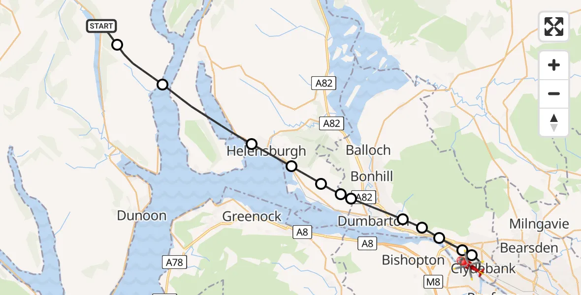
On Monday, 16 February 2026 at 17:33, a Air Ambulance Helicopter departed from Strachur to Clydebank. It was the Air Ambulance Helicopter with registration number G-ISAS. The flight lasted 12 minutes. During that period, the aircraft travelled 28 miles at an average speed of 134 miles per hour at a maximum altitude of 2950 feet.
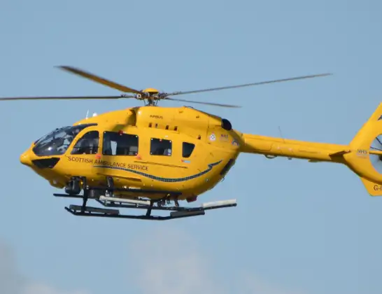
Helicopter: G-ISAS
The helicopter G-ISAS is used as a air ambulance helicopter. The main purpose of this aircraft is to transport a Mobile Medical Team to an incident as quickly as possible, enabling the trauma doctor to provide immediate first aid on site. The aircraft is flying this flight as Air Ambulance Helicopter.
Photo: Jonathan Payne
28 miles
2950 feet
134 mph
13 minutes
17:33
17:46

Route
Beardmore Street, 17:46
Clydebank17:43
Duntocher17:43
Old Kilpatrick17:42
Bowling17:41
Milton17:41
Dumbarton17:40
Ardoch17:39
Cardross17:39
Colgrain17:38
Helensburgh17:37
Inner Seas17:35
Ardentinny17:34
A815, 17:33
Live flights
Today
Police Helicopter to Epping Forest, Green Lane26 Feb 23:43
Flights Clydebank
to Glasgow, Dartford Street23 Feb 11:07
to Clydebank, Glasgow Road23 Feb 10:39
to Renfrew, Kirkfield Gardens12 Jan 13:23
Flights Strachur
Air Ambulance Helicopter to Strachur, C5716 Feb 16:42
Helicopter flights on your website?
You can easily display helicopter flights on your own website. Use the embed code.
