Air Ambulance Helicopter to North Weald Airfield, North Weald Airfield
Monday, 16 February 2026 | 16:15 | From West Horndon
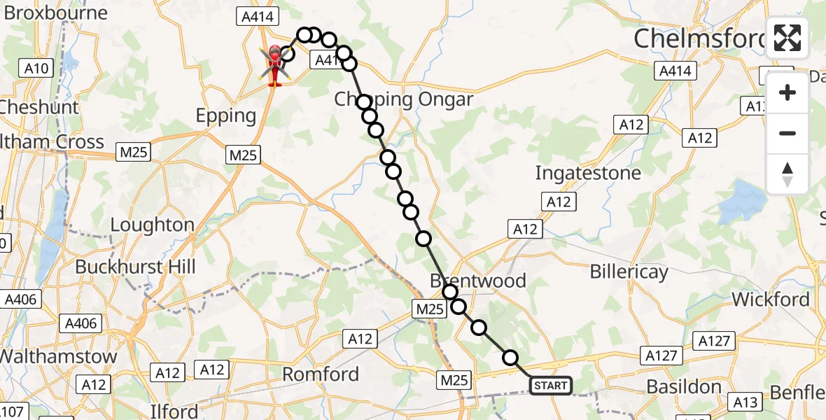
On Monday, 16 February 2026 at 16:15, a Air Ambulance Helicopter departed from West Horndon to North Weald Airfield. It was the Air Ambulance Helicopter with registration number G-EHAT. The flight lasted 15 minutes. During that period, the aircraft travelled 16 miles at an average speed of 65 miles per hour at a maximum altitude of 1675 feet.
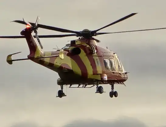
Helicopter: G-EHAT
The helicopter G-EHAT is used as a air ambulance helicopter. The main purpose of this aircraft is to transport a Mobile Medical Team to an incident as quickly as possible, enabling the trauma doctor to provide immediate first aid on site. The aircraft is flying this flight as Air Ambulance Helicopter.
Photo: By Steve Knight
17 miles
1675 feet
65 mph
16 minutes
16:15
16:30

Route
North Weald Airfield, Epping, Essex16:30
North Weald Airfield, Epping, Essex16:30
North Weald Airfield, Epping, Essex16:28
North Weald Bassett, Epping Forest16:27
Epping Forest, Essex16:27
North Weald Bassett, Epping Forest16:26
Moreton, Epping Forest16:26
Chipping Ongar, Epping Forest16:26
Greensted Green, Epping Forest16:25
Stanford Rivers, Epping Forest16:25
Epping Forest, Essex16:24
Little End, Epping Forest16:24
Brentwood, Essex16:24
Kelvedon Hatch, Brentwood16:23
Navestock, Brentwood16:23
Coxtie Green, Brentwood16:22
South Weald, Brentwood16:21
Brentwood, Essex16:21
Great Warley, Brentwood16:21
Little Warley, Brentwood16:20
Southend Arterial Road, Brentwood16:19
West Horndon, Brentwood16:15
Today
Police Helicopter to Epping Forest, Green Lane26 Feb 23:43
Helicopter flights on your website?
You can easily display helicopter flights on your own website. Use the embed code.
