Police Helicopter to South Nutfield, Crab Hill Lane
Sunday, 15 February 2026 | 23:43 | From Salfords
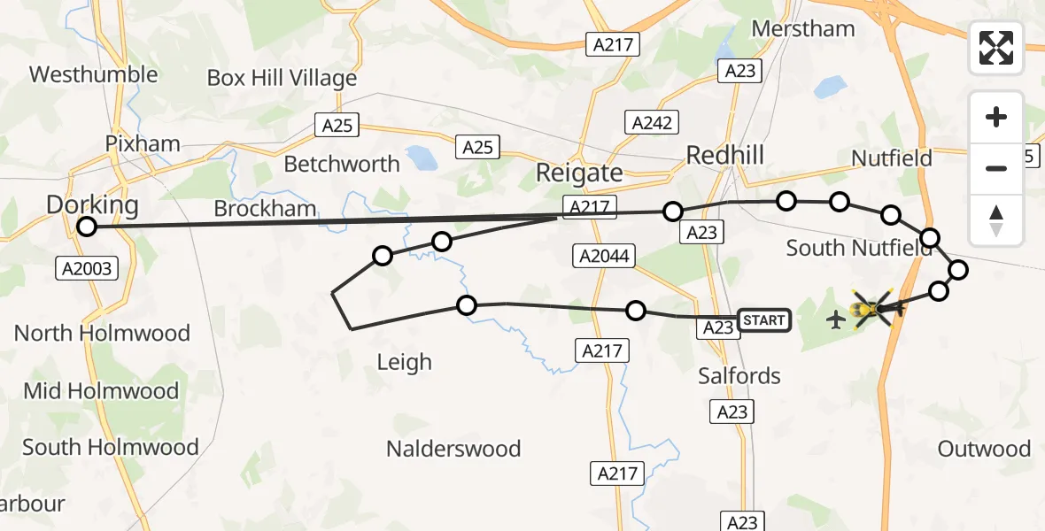
On Sunday, 15 February 2026 at 23:43, a Police Helicopter departed from Salfords to South Nutfield. It was the Police Helicopter with registration number G-POLH. The flight lasted 7 minutes. During that period, the aircraft travelled 24 miles at an average speed of 220 miles per hour at a maximum altitude of 1800 feet.
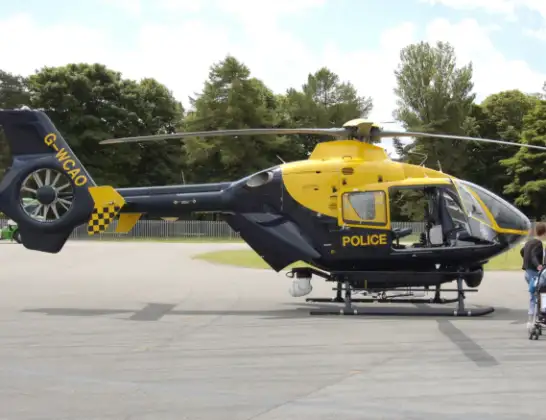
Helicopter: G-POLH
The helicopter G-POLH is used by the British police. The helicopter is deployed in pursuits, missing persons cases and other incidents where a helicopter provides added value.
Photo: Arpingstone
24 miles
1800 feet
220 mph
7 minutes
23:43
23:50

Route
Crab Hill Lane, 23:50
South Nutfield23:49
Tandridge23:49
Nutfield23:49
South Nutfield23:49
Nutfield23:48
South Nutfield23:48
Redhill, Reigate and Banstead23:48
Dorking, Mole Valley23:47
Reigate, Reigate and Banstead23:47
Betchworth, Mole Valley23:46
Leigh, Mole Valley23:45
Reigate, Reigate and Banstead23:44
Mason's Bridge Road, Reigate and Banstead23:43
Live flights
Today
Police Helicopter to Epping Forest, Green Lane26 Feb 23:43
Flights Salfords
Police Helicopter to Epping Forest, Mott Street26 Feb 20:04
Police Helicopter to Denham, North Orbital Road23 Feb 10:10
Police Helicopter to Shere, Towerhill Lane22 Feb 15:43
Helicopter flights on your website?
You can easily display helicopter flights on your own website. Use the embed code.
