Police Helicopter to East Ardsley, Stoney Lane
Sunday, 15 February 2026 | 21:46 | From Silsden
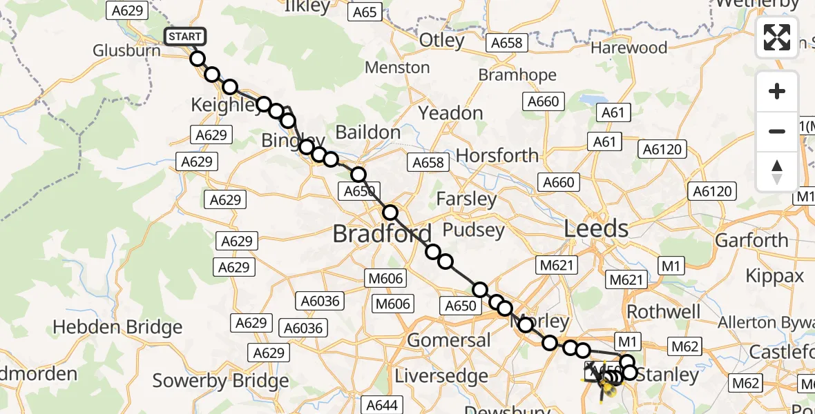
On Sunday, 15 February 2026 at 21:46, a Police Helicopter departed from Silsden to East Ardsley. It was the Police Helicopter with registration number G-POLB. The flight lasted 14 minutes. During that period, the aircraft travelled 26 miles at an average speed of 114 miles per hour at a maximum altitude of 2400 feet.
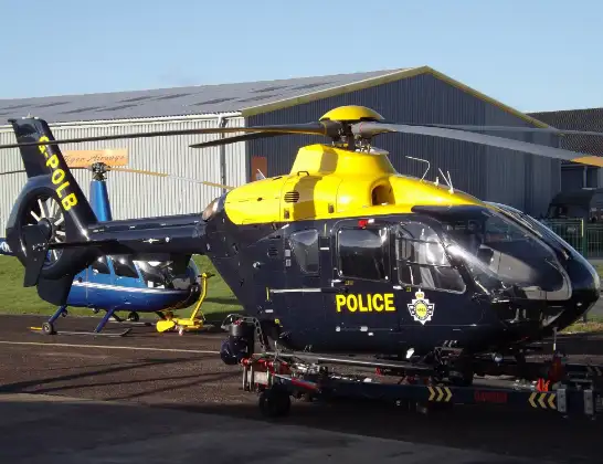
Helicopter: G-POLB
The helicopter G-POLB is used by the British police. The helicopter is deployed in pursuits, missing persons cases and other incidents where a helicopter provides added value.
Photo: James from Cheltenham, Gloucestershire
27 miles
2400 feet
114 mph
14 minutes
21:46
22:00

Route
Stoney Lane, Leeds22:00
East Ardsley, Leeds22:00
Wrenthorpe, Wakefield22:00
Wakefield, West Yorkshire21:59
Newton Hill, Wakefield21:59
Lofthouse Gate, Wakefield21:59
East Ardsley, Leeds21:58
Tingley, Leeds21:58
Tingley, Morley21:57
Morley, Leeds21:57
Gildersome, Leeds21:56
Adwalton, Leeds21:56
Drighlington, Leeds21:56
Tong, Bradford21:55
Pudsey, Leeds21:55
Bradford, West Yorkshire21:54
Wrose, Bradford21:53
Shipley, Bradford21:52
Cottingley, Bingley21:52
Bingley, Bradford21:52
Crossflatts, Bingley21:49
Crossflatts, Keighley21:49
Sandbeds, Keighley21:49
Riddlesden, Keighley21:48
Steeton, Keighley21:47
Steeton, Bradford21:47
Silsden, Bradford21:46
Today
Police Helicopter to Epping Forest, Green Lane26 Feb 23:43
Flights Silsden
Police Helicopter to East Ardsley, Stoney Lane15 Feb 21:46
Helicopter flights on your website?
You can easily display helicopter flights on your own website. Use the embed code.
