Police Helicopter to Trap, Trap
Sunday, 15 February 2026 | 20:05 | From MOD St Athan
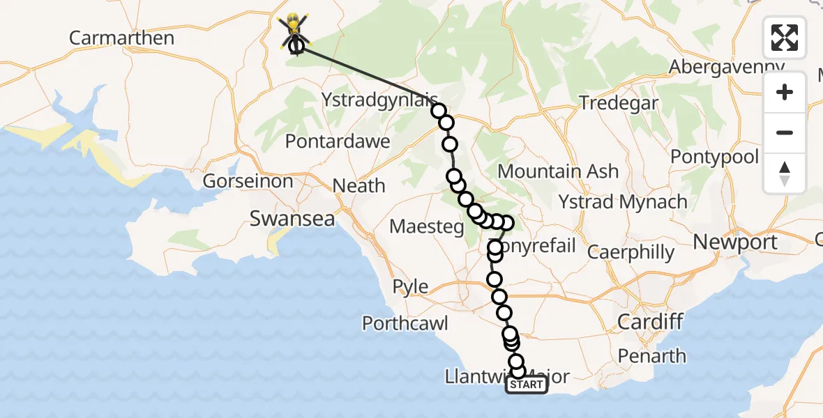
On Sunday, 15 February 2026 at 20:05, a Police Helicopter departed from MOD St Athan to Trap. It was the Police Helicopter with registration number G-NWOI. The flight lasted 26 minutes. During that period, the aircraft travelled 45 miles at an average speed of 106 miles per hour at a maximum altitude of 5725 feet.
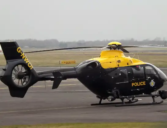
Helicopter: G-NWOI
The helicopter G-NWOI is used by the British police. The helicopter is deployed in pursuits, missing persons cases and other incidents where a helicopter provides added value.
Photo: James from Cheltenham
46 miles
5725 feet
106 mph
26 minutes
20:05
20:31

Route
Trap, 20:31
Trap20:30
Banwen20:21
Glynneath20:21
Blaengwrach20:20
Cymer and Glyncorrwg20:18
Blaengwynfi20:17
Abergwynfi20:17
Ogmore Valley20:16
Nant-y-moel20:15
Price Town20:15
Ogmore Valley20:14
Tonypandy20:13
Ogmore Valley20:12
Blackmill20:12
Heol-y-cyw20:10
Pencoed20:09
Llangan20:09
Penllyn20:08
Llysworney20:07
Cowbridge20:07
Sigingstone20:06
Llanmaes20:06
MOD St Athan, St Athan, Vale of Glamorgan20:05
Live flights
Today
Police Helicopter to Epping Forest, Green Lane26 Feb 23:43
Flights Trap
Police Helicopter to Trap, Trap15 Feb 20:05
Helicopter flights on your website?
You can easily display helicopter flights on your own website. Use the embed code.
