Air Ambulance Helicopter to South Willesborough, Maunsell Place
Saturday, 14 February 2026 | 20:49 | From Hoo St. Werburgh
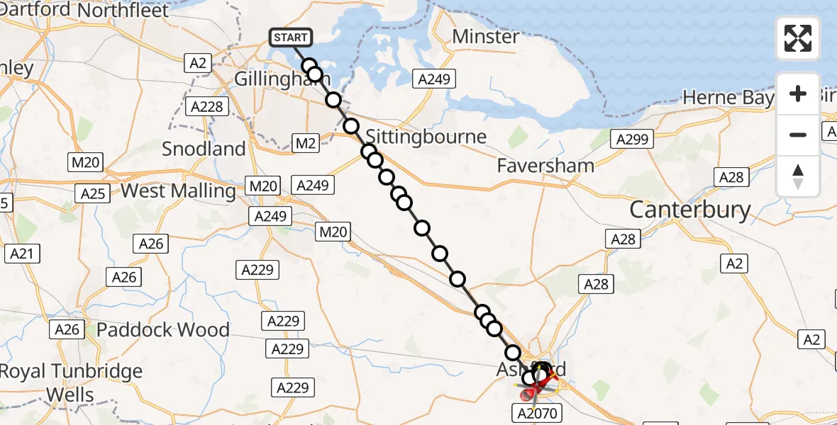
On Saturday, 14 February 2026 at 20:49, a Air Ambulance Helicopter departed from Hoo St. Werburgh to South Willesborough. It was the Air Ambulance Helicopter with registration number G-KSSC. The flight lasted 17 minutes. During that period, the aircraft travelled 27 miles at an average speed of 97 miles per hour at a maximum altitude of 1175 feet.
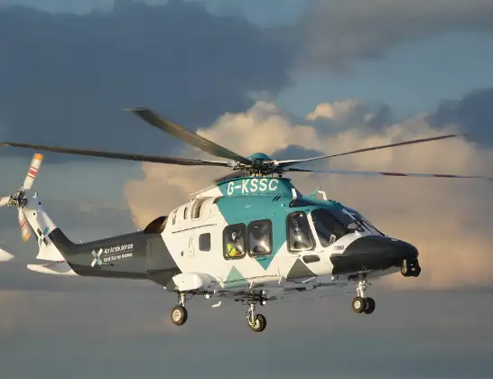
Helicopter: G-KSSC
The helicopter G-KSSC is used as a air ambulance helicopter. The main purpose of this aircraft is to transport a Mobile Medical Team to an incident as quickly as possible, enabling the trauma doctor to provide immediate first aid on site. The aircraft is flying this flight as Air Ambulance Helicopter.
Photo: Shona aakss
28 miles
1175 feet
97 mph
17 minutes
20:49
21:06

Route
Maunsell Place, Ashford21:06
South Willesborough, Ashford21:04
Sevington, Ashford21:04
Ashford21:04
Sevington, Ashford21:03
South Willesborough, Ashford21:02
Ashford21:01
Hothfield, Ashford21:00
Little Chart, Ashford21:00
Ashford20:59
Charing, Ashford20:58
Maidstone20:58
Wichling, Maidstone20:57
Frinsted, Maidstone20:56
Wormshill, Maidstone20:56
Bredgar, Swale20:55
Swale20:55
Stockbury, Maidstone20:55
Hartlip, Swale20:54
Rainham20:53
Lower Rainham, Gillingham20:52
Gillingham20:52
Beech Road, 20:51
Hoo St. Werburgh20:49
Live flights
Police Helicopter on its way from Ewelme13 Jul 22:24
Today
Police Helicopter to Manchester Barton Aerodrome13 Jul 23:56
Police Helicopter to Bournemouth Airport13 Jul 23:55
Air Ambulance Helicopter to Cardiff Heliport13 Jul 23:38
Police Helicopter to Birmingham Airport13 Jul 23:21
Police Helicopter to Irlam, Twelve Yards Road13 Jul 23:00
Helicopter flights on your website?
You can easily display helicopter flights on your own website. Use the embed code.
