Air Ambulance Helicopter to RAF Northolt
Saturday, 14 February 2026 | 17:06 | From Metropolitan Police Air Support Unit Lippitts Hill
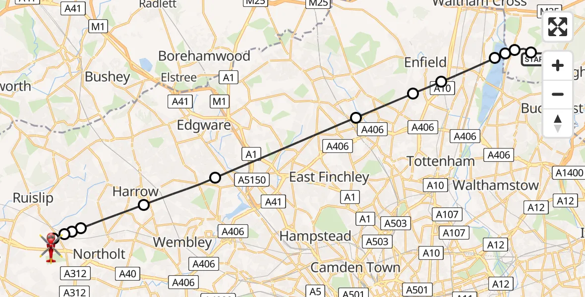
On Saturday, 14 February 2026 at 17:06, a Air Ambulance Helicopter departed from Metropolitan Police Air Support Unit Lippitts Hill to RAF Northolt. It was the Air Ambulance Helicopter with registration number G-LAAB. The flight lasted 13 minutes. During that period, the aircraft travelled 20 miles at an average speed of 95 miles per hour at a maximum altitude of 1375 feet.
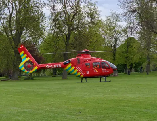
Helicopter: G-LAAB
The helicopter G-LAAB is used as a air ambulance helicopter. The main purpose of this aircraft is to transport a Mobile Medical Team to an incident as quickly as possible, enabling the trauma doctor to provide immediate first aid on site. The aircraft is flying this flight as Air Ambulance Helicopter.
Photo: Celsoazevedo
21 miles
1375 feet
95 mph
13 minutes
17:06
17:19

Route
RAF Northolt, London17:19
RAF Northolt, London17:18
RAF Northolt, London17:17
London Borough of Hillingdon, Greater London17:17
Ruislip, Greater London17:16
London Borough of Hillingdon, Greater London17:16
London Borough of Harrow, Greater London17:15
London Borough of Brent, Greater London17:14
London Borough of Barnet, Greater London17:11
London Borough of Enfield, Greater London17:10
Enfield, Greater London17:10
London Borough of Enfield, Greater London17:09
Sewardstonebury, Greater London17:08
Epping Forest, Essex17:08
Sewardstonebury, Epping Forest17:08
Metropolitan Police Air Support Unit Lippitts Hill, Loughton, Essex17:07
Metropolitan Police Air Support Unit Lippitts Hill, Loughton, Essex17:06
Today
Police Helicopter to Falkirk02:12:08
Helicopter flights on your website?
You can easily display helicopter flights on your own website. Use the embed code.
