Air Ambulance Helicopter to Winsford, Hill Street
Saturday, 14 February 2026 | 14:42 | From Manchester Barton Aerodrome
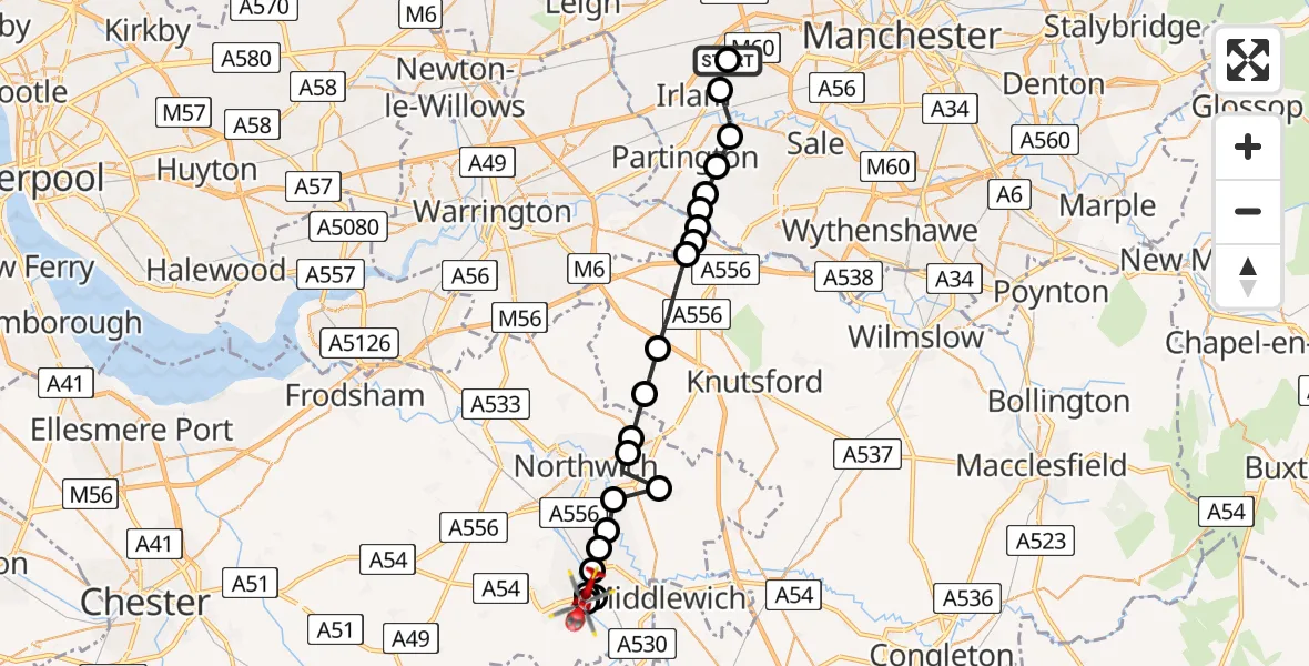
On Saturday, 14 February 2026 at 14:42, a Air Ambulance Helicopter departed from Manchester Barton Aerodrome to Winsford. It was the Air Ambulance Helicopter with registration number G-NWEM. The flight lasted 76 minutes. During that period, the aircraft travelled 25 miles at an average speed of 21 miles per hour at a maximum altitude of 750 feet.
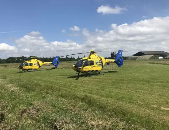
Helicopter: G-NWEM
The helicopter G-NWEM is used as a air ambulance helicopter. The main purpose of this aircraft is to transport a Mobile Medical Team to an incident as quickly as possible, enabling the trauma doctor to provide immediate first aid on site. The aircraft is flying this flight as Air Ambulance Helicopter.
Photo: Legion23
26 miles
750 feet
21 mph
76 minutes
14:42
15:58

Route
Hill Street, 15:58
Winsford15:56
Meadowbank, Winsford15:56
Winsford15:54
Meadowbank, Winsford15:54
Meadowbank15:53
Bostock Green15:53
Davenham15:52
Lostock Green15:52
Northwich15:52
Wincham15:51
Pickmere15:51
Aston by Budworth15:50
High Legh15:48
Agden15:48
Little Bollington with Agden15:48
Trafford, Greater Manchester15:48
Dunham Town, Trafford15:47
Trafford, Greater Manchester15:47
Carrington, Trafford15:46
Flixton, Trafford15:46
Liverpool Road, Salford15:45
Irlam, Salford15:45
Manchester Barton Aerodrome, Manchester, Greater Manchester15:43
Manchester Barton Aerodrome, Manchester, Greater Manchester15:41
Manchester Barton Aerodrome, Manchester, Greater Manchester15:41
Manchester Barton Aerodrome, Manchester, Greater Manchester14:42
Live flights
Today
Police Helicopter to Epping Forest, Green Lane26 Feb 23:43
Flights Winsford
Air Ambulance Helicopter to Stoke, Hilton Road14 Feb 16:53
Helicopter flights on your website?
You can easily display helicopter flights on your own website. Use the embed code.
