Air Ambulance Helicopter to Aberdeen City, Westburn Drive
Saturday, 14 February 2026 | 14:33 | From Inverness
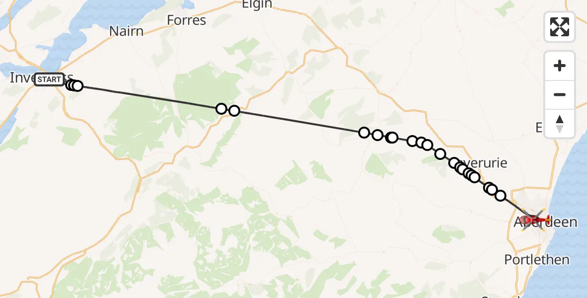
On Saturday, 14 February 2026 at 14:33, a Air Ambulance Helicopter departed from Inverness to Aberdeen City. It was the Air Ambulance Helicopter with registration number G-GSAS. The flight lasted 38 minutes. During that period, the aircraft travelled 83 miles at an average speed of 132 miles per hour at a maximum altitude of 2975 feet.
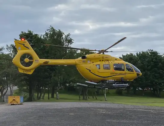
Helicopter: G-GSAS
The helicopter G-GSAS is used as a air ambulance helicopter. The main purpose of this aircraft is to transport a Mobile Medical Team to an incident as quickly as possible, enabling the trauma doctor to provide immediate first aid on site. The aircraft is flying this flight as Air Ambulance Helicopter.
Photo: Scanbus
83 miles
2975 feet
132 mph
38 minutes
14:33
15:11

Route
Westburn Drive, 15:11
Aberdeen City15:06
Kintore15:05
Inverurie15:05
Kintore15:03
Inverurie15:03
Kemnay15:03
Inverurie15:02
Aquhorthies15:02
Chapel of Garioch15:02
Oyne15:01
Insch15:00
Auchleven14:59
Insch14:58
Leslie14:57
Kennethmont14:57
Gartly14:56
Rhynie14:55
Ballindalloch14:47
Advie14:46
Newlands of Culloden14:36
Inverness14:36
Daviot14:36
Raigmore Gardens, 14:33
Live flights
Today
Flights Inverness
Air Ambulance Aircraft to Glasgow Airport11 Jun 13:18
Helicopter flights on your website?
You can easily display helicopter flights on your own website. Use the embed code.
