Police Helicopter to Rhigos, Rhigos
Saturday, 14 February 2026 | 13:44 | From MOD St Athan
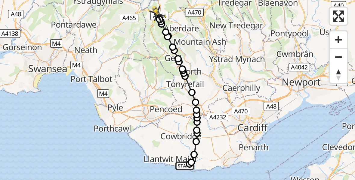
On Saturday, 14 February 2026 at 13:44, a Police Helicopter departed from MOD St Athan to Rhigos. It was the Police Helicopter with registration number G-NWOI. The flight lasted 11 minutes. During that period, the aircraft travelled 27 miles at an average speed of 145 miles per hour at a maximum altitude of 2325 feet.
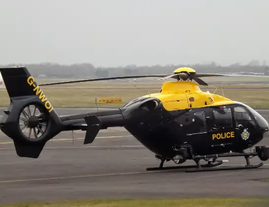
Helicopter: G-NWOI
The helicopter G-NWOI is used by the British police. The helicopter is deployed in pursuits, missing persons cases and other incidents where a helicopter provides added value.
Photo: James from Cheltenham
27 miles
2325 feet
145 mph
12 minutes
13:44
13:55

Route
Rhigos, 13:55
Hirwaun13:55
Rhigos13:55
Hirwaun13:55
Aberdare West13:54
Maerdy13:54
Aberdare West13:54
Maerdy13:53
Gelli13:53
Ystrad13:52
Llwynypia13:52
Tonypandy13:51
Dinas13:51
Tonyrefail13:51
Trebanog13:51
Tonyrefail13:49
Llantrisant13:49
Pontyclun13:48
Brynsadler13:48
Ystradowen13:48
Miskin13:47
Pendoylan13:47
Welsh St. Donats13:47
St Hilary13:46
Llancarfan13:45
St Athan13:45
Gileston13:44
MOD St Athan, St Athan, Vale of Glamorgan13:44
Live flights
Today
Police Helicopter to Epping Forest, Green Lane26 Feb 23:43
Flights Rhigos
Police Helicopter to Rhigos, Rhigos14 Feb 13:44
Helicopter flights on your website?
You can easily display helicopter flights on your own website. Use the embed code.
