Police Helicopter to Pengam, Julian Heights
Friday, 13 February 2026 | 21:45 | From MOD St Athan
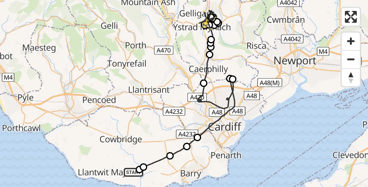
On Friday, 13 February 2026 at 21:45, a Police Helicopter departed from MOD St Athan to Pengam. It was the Police Helicopter with registration number G-NWOI. The flight lasted 32 minutes. During that period, the aircraft travelled 50 miles at an average speed of 93 miles per hour at a maximum altitude of 2275 feet.
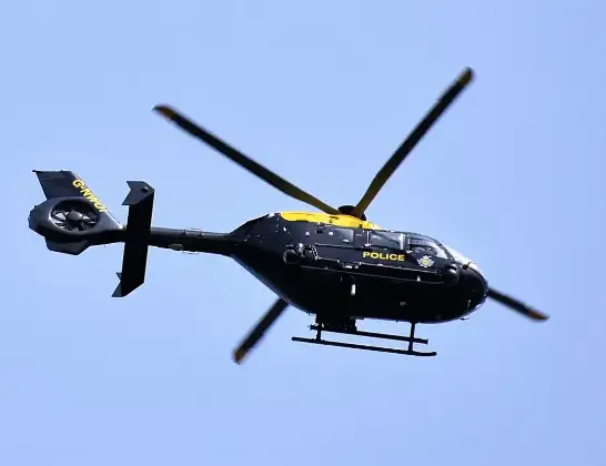
Helicopter: G-NWOI
The helicopter G-NWOI is used by the British police. The helicopter is deployed in pursuits, missing persons cases and other incidents where a helicopter provides added value.
Photo: Alec Wilson
51 miles
2275 feet
93 mph
33 minutes
21:45
22:18

Route
Julian Heights, 22:18
Pengam22:17
Maesycwmmer22:15
Pontllanfraith22:15
Maesycwmmer22:15
Pontllanfraith22:14
Maesycwmmer22:14
Pontllanfraith22:12
Maesycwmmer22:11
Hengoed22:11
Hengoed, Ystrad Mynach22:11
Maesycwmmer22:07
Pontllanfraith22:07
Maesycwmmer22:05
Llanbradach and Pwllypant22:05
Bedwas, Trethomas and Machen22:05
Bedwas22:04
Caerphilly22:03
Cardiff21:55
Lisvane21:55
Cardiff21:50
Wenvoe21:49
Dyffryn21:48
Llancarfan21:46
St. Athan21:46
MOD St Athan, St Athan, Vale of Glamorgan21:45
Live flights
Today
Police Helicopter to Epping Forest, Green Lane26 Feb 23:43
Flights Pengam
Police Helicopter to Pengam, Julian Heights13 Feb 21:45
Police Helicopter to Pengam, Fair View12 Feb 11:11
Helicopter flights on your website?
You can easily display helicopter flights on your own website. Use the embed code.
