Air Ambulance Helicopter to Trowbridge, Trowbridge
Friday, 13 February 2026 | 17:32 | From West Swindon
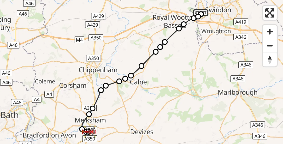
On Friday, 13 February 2026 at 17:32, a Air Ambulance Helicopter departed from West Swindon to Trowbridge. It was the Air Ambulance Helicopter with registration number G-WLTS. The flight lasted 10 minutes. During that period, the aircraft travelled 22 miles at an average speed of 127 miles per hour at a maximum altitude of 1750 feet.
Helicopter: G-WLTS
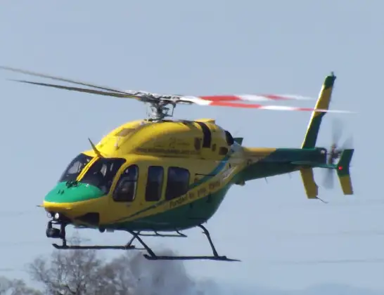
The helicopter G-WLTS is used as a air ambulance helicopter. The main purpose of this aircraft is to transport a Mobile Medical Team to an incident as quickly as possible, enabling the trauma doctor to provide immediate first aid on site. The aircraft is flying this flight as Air Ambulance Helicopter.
Photo: James
22 miles
1750 feet
127 mph
11 minutes
17:32
17:42

Route
Trowbridge, 17:42
Trowbridge17:42
Berryfield17:42
Semington17:41
Melksham Without17:41
Melksham17:40
Beanacre17:40
Lacock17:39
Chippenham17:39
Derry Hill17:38
Studley17:38
Bremhill17:38
Calne17:37
Hilmarton17:36
Lyneham17:36
Tockenham17:36
Royal Wootton Bassett17:35
Swindon17:35
Lydiard Tregoze17:34
West Swindon17:34
Freshbrook17:34
Grosmont Drive, 17:33
West Swindon17:32
Today
Police Helicopter to Epping Forest, Green Lane26 Feb 23:43
Flights Trowbridge
Helicopter flights on your website?
You can easily display helicopter flights on your own website. Use the embed code.
