Air Ambulance Helicopter to Pant, Heads of the Valleys Road
Friday, 13 February 2026 | 16:37 | From Cardiff Heliport
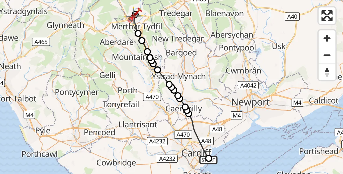
On Friday, 13 February 2026 at 16:37, a Air Ambulance Helicopter departed from Cardiff Heliport to Pant. It was the Air Ambulance Helicopter with registration number G-WROL. The flight lasted 15 minutes. During that period, the aircraft travelled 24 miles at an average speed of 97 miles per hour at a maximum altitude of 2100 feet.
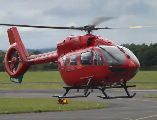
Helicopter: G-WROL
The helicopter G-WROL is used as a air ambulance helicopter. The main purpose of this aircraft is to transport a Mobile Medical Team to an incident as quickly as possible, enabling the trauma doctor to provide immediate first aid on site. The aircraft is flying this flight as Air Ambulance Helicopter.
Photo: James from Cheltenham, Gloucestershire
25 miles
2100 feet
97 mph
15 minutes
16:37
16:52

Route
Heads of the Valleys Road, 16:52
Pant16:52
Merthyr Tydfil16:49
Abercanaid16:49
Aberfan16:48
Merthyr Vale16:47
Treharris16:47
Edwardsville16:47
Quakers Yard16:46
Nelson16:45
Aber Valley16:45
Llanbradach and Pwllypant, Ystrad Mynach16:44
Llanbradach and Pwllypant16:44
Energlyn16:44
Caerphilly16:43
Lansbury Park16:43
Caerphilly16:42
Cardiff16:38
Cardiff Heliport, Cardiff16:37
Live flights
Today
Police Helicopter to Epping Forest, Green Lane26 Feb 23:43
Flights Pant
Helicopter flights on your website?
You can easily display helicopter flights on your own website. Use the embed code.
