to MOD St Athan, MOD St Athan
Friday, 13 February 2026 | 13:45 | From Llantwit Major
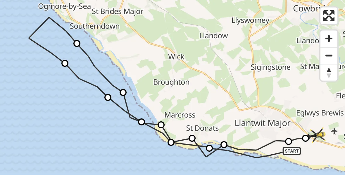
On Friday, 13 February 2026 at 13:45, a Police Helicopter departed from Llantwit Major to MOD St Athan. It was the Police Helicopter with registration number G-NWOI. The flight lasted 9 minutes. During that period, the aircraft travelled 22 miles at an average speed of 141 miles per hour at a maximum altitude of 1975 feet.
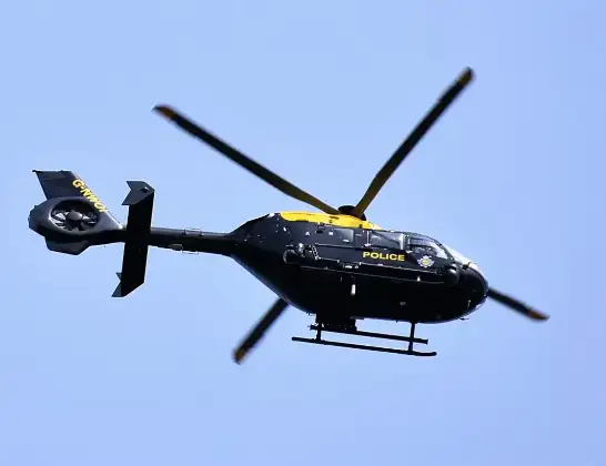
Helicopter: G-NWOI
The helicopter G-NWOI is used by the British police. The helicopter is deployed in pursuits, missing persons cases and other incidents where a helicopter provides added value.
Photo: Alec Wilson
22 miles
1975 feet
141 mph
10 minutes
13:45
13:54

Route
MOD St Athan, St Athan, Vale of Glamorgan13:54
MOD St Athan, St Athan, Vale of Glamorgan13:54
Boverton13:53
Llantwit Major13:52
St Donats13:52
Marcross13:51
Monknash13:51
Southerndown13:50
Ogmore-by-Sea13:48
Southerndown13:48
Monknash13:47
Marcross13:47
St Donats13:46
Llantwit Major, 13:45
Live flights
Police Helicopter on its way from South Nutfield26 Feb 23:55
Today
Police Helicopter to Epping Forest, Green Lane26 Feb 23:43
Helicopter flights on your website?
You can easily display helicopter flights on your own website. Use the embed code.
