Police Helicopter to MOD St Athan
Friday, 13 February 2026 | 8:27 | From Eglwys Brewis
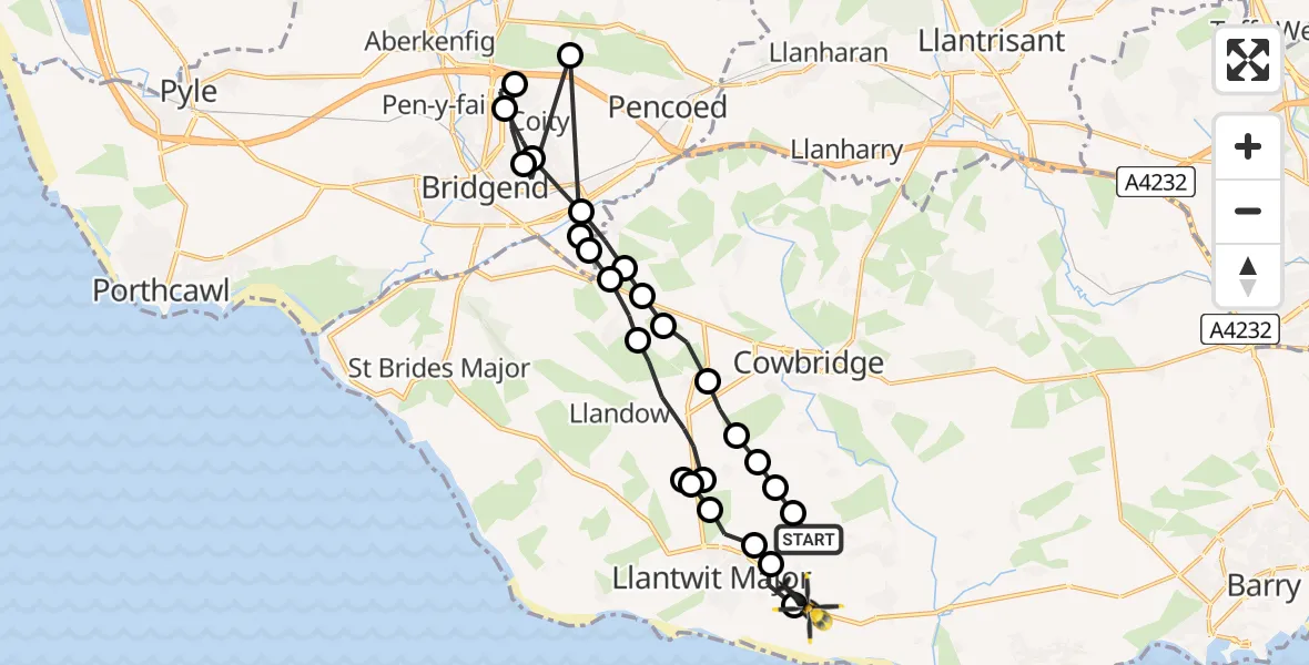
On Friday, 13 February 2026 at 8:27, a Police Helicopter departed from Eglwys Brewis to MOD St Athan. It was the Police Helicopter with registration number G-NWOI. The flight lasted 11 minutes. During that period, the aircraft travelled 25 miles at an average speed of 142 miles per hour at a maximum altitude of 2125 feet.
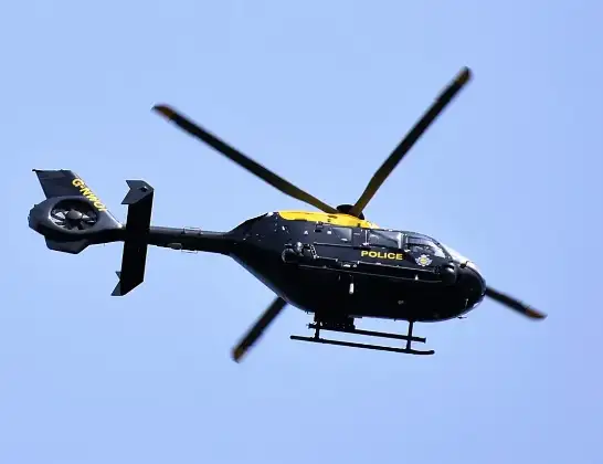
Helicopter: G-NWOI
The helicopter G-NWOI is used by the British police. The helicopter is deployed in pursuits, missing persons cases and other incidents where a helicopter provides added value.
Photo: Alec Wilson
26 miles
2125 feet
142 mph
11 minutes
08:27
08:37

Route
MOD St Athan, St Athan, Vale of Glamorgan08:37
MOD St Athan, St Athan, Vale of Glamorgan08:37
Boverton08:37
Llanmaes08:37
Llantwit Major08:36
Llysworney08:36
RAF Llandow, Llandow, Vale of Glamorgan08:35
Sigingstone08:35
Llysworney08:34
Colwinston08:33
Bridgend08:33
Coychurch08:33
Heol-y-cyw08:33
Bridgend08:32
Coity08:31
Bridgend08:31
Coity08:30
Coychurch08:30
Treoes08:29
Colwinston08:29
Llangan08:29
Llysworney08:28
Sigingstone08:28
Cowbridge08:28
Sigingstone08:27
Llanmaes08:27
Eglwys Brewis, 08:27
Live flights
Today
Helicopter flights on your website?
You can easily display helicopter flights on your own website. Use the embed code.
