Police Helicopter to St Athan, St. Athan Road
Friday, 13 February 2026 | 1:01 | From Cefn Cribwr
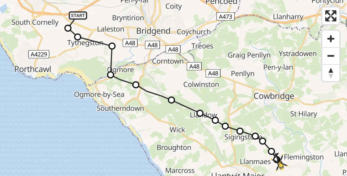
On Friday, 13 February 2026 at 1:01, a Police Helicopter departed from Cefn Cribwr to St Athan. It was the Police Helicopter with registration number G-NWOI. The flight lasted 5 minutes. During that period, the aircraft travelled 13 miles at an average speed of 150 miles per hour at a maximum altitude of 1925 feet.
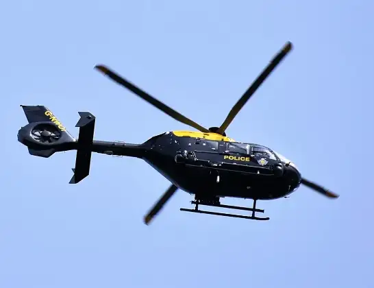
Helicopter: G-NWOI
The helicopter G-NWOI is used by the British police. The helicopter is deployed in pursuits, missing persons cases and other incidents where a helicopter provides added value.
Photo: Alec Wilson
14 miles
1925 feet
150 mph
6 minutes
01:01
01:06

Route
St. Athan Road, 01:06
Eglwys Brewis01:06
Llanmaes01:06
Sigingstone01:06
Llanmaes01:06
Sigingstone01:05
Llysworney01:05
Cowbridge01:05
Llandow01:05
St. Brides Major01:04
St Brides Major01:03
Ogmore01:03
Laleston01:02
Tythegston01:02
Pyle01:01
Cefn Cribwr, 01:01
Today
Police Helicopter to Epping Forest, Green Lane26 Feb 23:43
Helicopter flights on your website?
You can easily display helicopter flights on your own website. Use the embed code.
