Air Ambulance Helicopter to Welwyn Hatfield, Hawkshead Lane
Thursday, 12 February 2026 | 16:15 | From North Weald Airfield
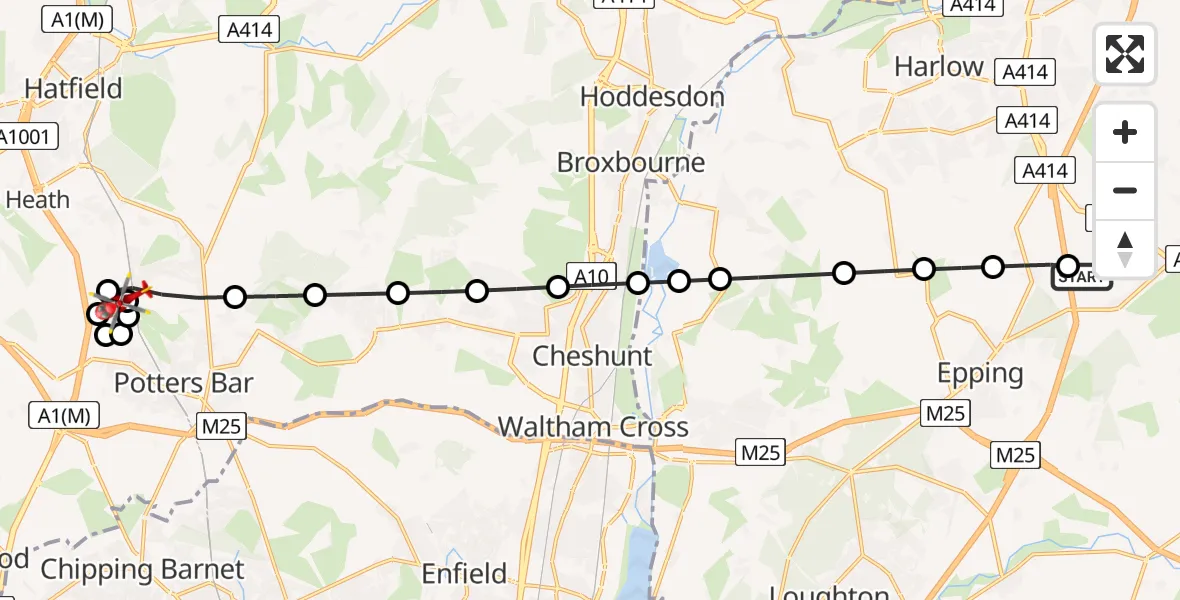
On Thursday, 12 February 2026 at 16:15, a Air Ambulance Helicopter departed from North Weald Airfield to Welwyn Hatfield. It was the Air Ambulance Helicopter with registration number G-EHAT. The flight lasted 9 minutes. During that period, the aircraft travelled 17 miles at an average speed of 115 miles per hour at a maximum altitude of 1950 feet.
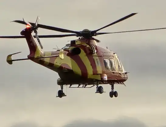
Helicopter: G-EHAT
The helicopter G-EHAT is used as a air ambulance helicopter. The main purpose of this aircraft is to transport a Mobile Medical Team to an incident as quickly as possible, enabling the trauma doctor to provide immediate first aid on site. The aircraft is flying this flight as Air Ambulance Helicopter.
Photo: By Steve Knight
18 miles
1950 feet
115 mph
9 minutes
16:15
16:24

Route
Hawkshead Lane, 16:24
Welwyn Hatfield16:24
Brookmans Park, Welwyn Hatfield16:23
Potters Bar, Hertsmere16:23
South Mimms, Hertsmere16:23
North Mymms, Welwyn Hatfield16:22
Welwyn Hatfield16:22
Brookmans Park, Welwyn Hatfield16:21
Northaw, Welwyn Hatfield16:21
Cuffley, Welwyn Hatfield16:20
Goffs Oak, Broxbourne16:20
Churchgate, Broxbourne16:19
Turnford, Broxbourne16:19
Epping Forest, Essex16:18
Lower Nazeing, Epping Forest16:18
Bumble's Green, Epping Forest16:17
Epping Green, Epping Forest16:17
Thornwood Common, Epping Forest16:16
North Weald Bassett, Epping Forest16:16
North Weald Airfield, Epping, Essex16:15
Live flights
Police Helicopter on its way from RAF Benson12 Jul 22:54
Police Helicopter on its way from Dundrod12 Jul 22:50
Today
Police Helicopter to East Ardsley, Stoney Lane12 Jul 23:51
Police Helicopter to Birmingham Airport12 Jul 23:46
Air Ambulance Helicopter to Glasgow Airport12 Jul 22:48
Police Helicopter to Walton Wood Airfield12 Jul 22:44
Helicopter flights on your website?
You can easily display helicopter flights on your own website. Use the embed code.
