Air Ambulance Helicopter to Loch Geàrr, Glasgow Airport
Thursday, 12 February 2026 | 15:17 | From Glasgow Airport
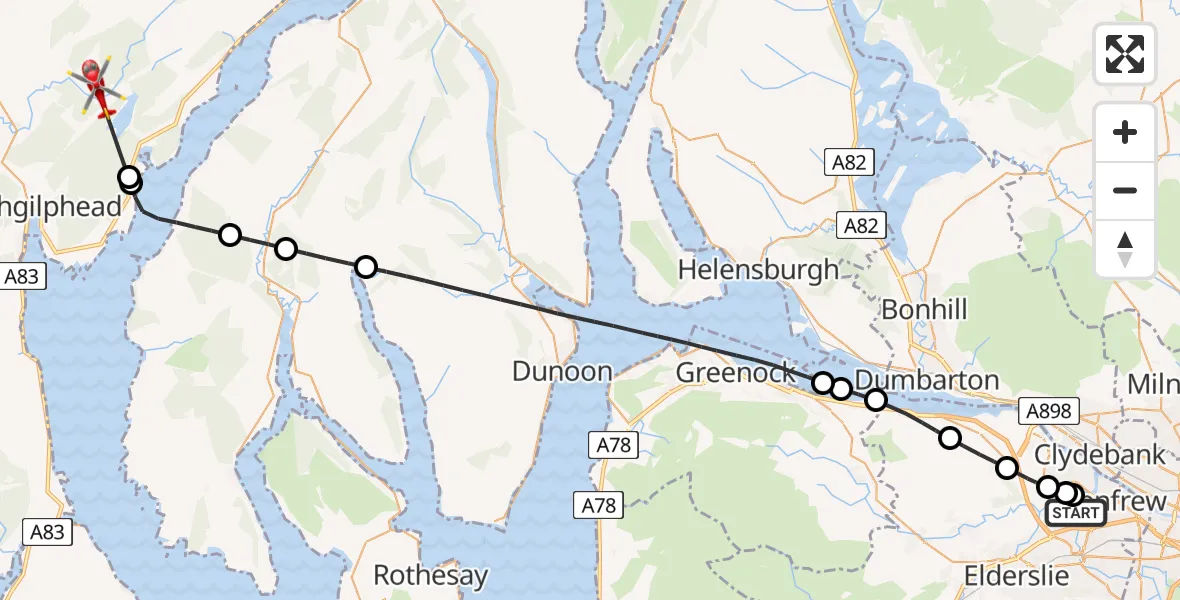
On Thursday, 12 February 2026 at 15:17, a Air Ambulance Helicopter departed from Glasgow Airport to Loch Geàrr. It was the Air Ambulance Helicopter with registration number G-ISAS. The flight lasted 16 minutes. During that period, the aircraft travelled 42 miles at an average speed of 154 miles per hour at a maximum altitude of 3625 feet.
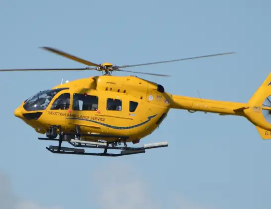
Helicopter: G-ISAS
The helicopter G-ISAS is used as a air ambulance helicopter. The main purpose of this aircraft is to transport a Mobile Medical Team to an incident as quickly as possible, enabling the trauma doctor to provide immediate first aid on site. The aircraft is flying this flight as Air Ambulance Helicopter.
Photo: Jonathan Payne
43 miles
3625 feet
154 mph
17 minutes
15:17
15:34

Route
15:34
Loch Geàrr15:32
Port Ann15:32
Inner Seas15:31
Clachan of Glendaruel15:30
Lochhead15:29
Inner Seas15:22
Cardross15:22
Park Farm15:22
Langbank15:20
Bishopton15:19
Erskine15:19
Inchinnan15:18
Renfrew15:18
Glasgow Airport, Glasgow15:17
Live flights
Today
Police Helicopter to Epping Forest, Green Lane26 Feb 23:43
Helicopter flights on your website?
You can easily display helicopter flights on your own website. Use the embed code.
