Police Helicopter to East Ardsley, Stoney Lane
Thursday, 12 February 2026 | 14:44 | From East Ardsley
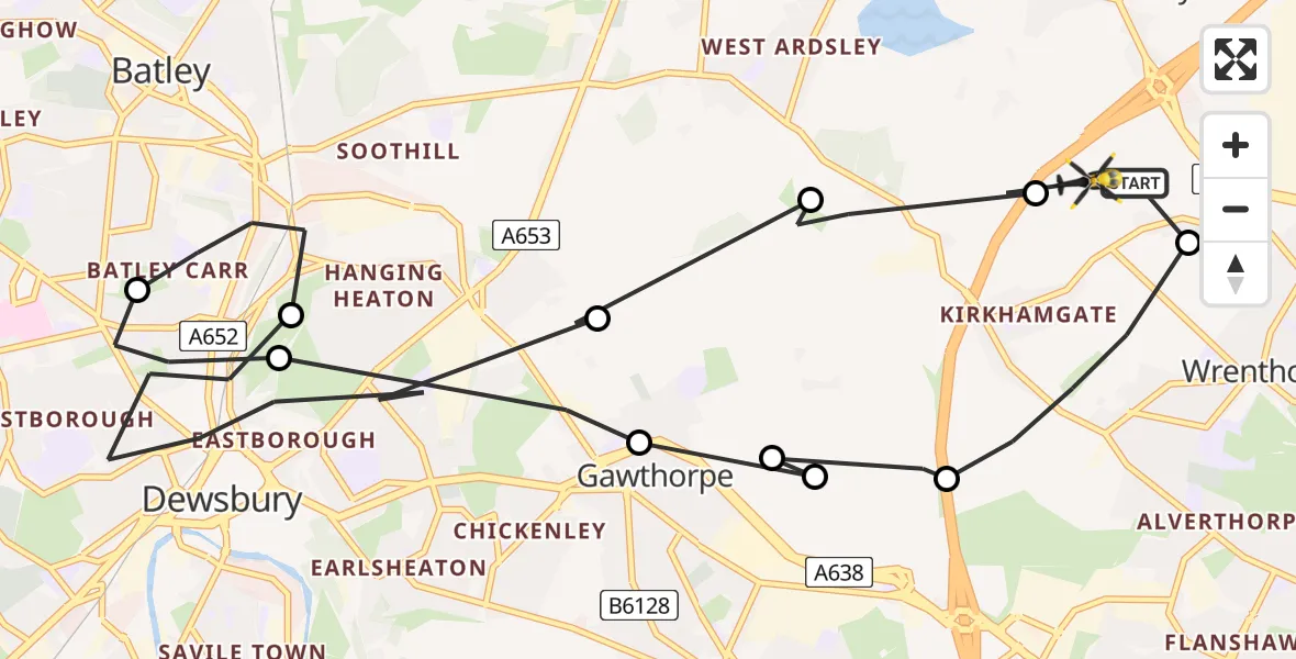
On Thursday, 12 February 2026 at 14:44, a Police Helicopter departed from East Ardsley to East Ardsley. It was the Police Helicopter with registration number G-POLB. The flight lasted 8 minutes. During that period, the aircraft travelled 13 miles at an average speed of 96 miles per hour at a maximum altitude of 2100 feet.
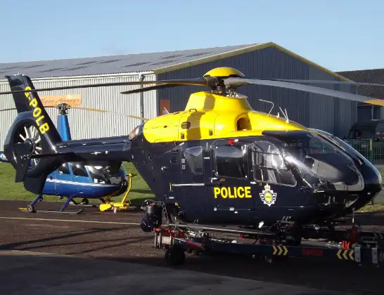
Helicopter: G-POLB
The helicopter G-POLB is used by the British police. The helicopter is deployed in pursuits, missing persons cases and other incidents where a helicopter provides added value.
Photo: James from Cheltenham, Gloucestershire
14 miles
2100 feet
96 mph
9 minutes
14:44
14:52

Route
Stoney Lane, Leeds14:52
East Ardsley, Leeds14:52
Woodkirk, Leeds14:51
Gawthorpe, Wakefield14:51
Dewsbury, Kirklees14:49
Batley, Kirklees14:48
Dewsbury, Kirklees14:47
Gawthorpe, Wakefield14:46
Ossett, Wakefield14:46
Gawthorpe, Wakefield14:46
Ossett, Wakefield14:45
Wrenthorpe, Wakefield14:44
Stoney Lane, Leeds14:44
Live flights
Today
Police Helicopter to MOD St Athan15 Jul 23:53
Police Helicopter to East Ardsley, Stoney Lane15 Jul 23:36
Helicopter flights on your website?
You can easily display helicopter flights on your own website. Use the embed code.
