Air Ambulance Helicopter to North Weald Airfield
Thursday, 12 February 2026 | 12:53 | From Queens Hospital Romford
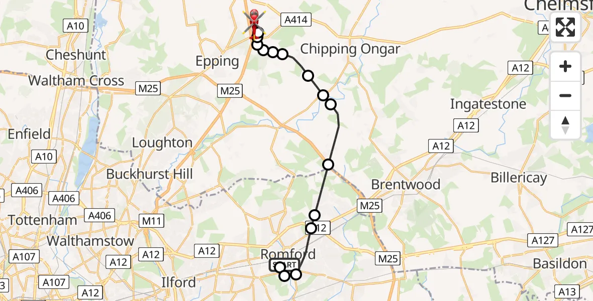
On Thursday, 12 February 2026 at 12:53, a Air Ambulance Helicopter departed from Queens Hospital Romford to North Weald Airfield. It was the Air Ambulance Helicopter with registration number G-EHAT. The flight lasted 13 minutes. During that period, the aircraft travelled 14 miles at an average speed of 67 miles per hour at a maximum altitude of 2025 feet.
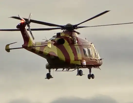
Helicopter: G-EHAT
The helicopter G-EHAT is used as a air ambulance helicopter. The main purpose of this aircraft is to transport a Mobile Medical Team to an incident as quickly as possible, enabling the trauma doctor to provide immediate first aid on site. The aircraft is flying this flight as Air Ambulance Helicopter.
Photo: By Steve Knight
15 miles
2025 feet
67 mph
13 minutes
12:53
13:06

Route
North Weald Airfield, Epping, Essex13:06
North Weald Airfield, Epping, Essex13:05
North Weald Airfield, Epping, Essex13:04
North Weald Bassett, Epping Forest13:04
Coopersale, Epping Forest13:03
Woodhatch, Epping Forest13:03
Stapleford Tawney, Epping Forest13:03
Woodhatch, Epping Forest13:03
Toot Hill, Epping Forest13:02
Stanford Rivers, Epping Forest13:01
Brentwood, Essex13:01
Navestock, Brentwood13:00
London Borough of Havering, Greater London12:59
Romford, Greater London12:59
London Borough of Havering, Greater London12:58
London Borough of Barking and Dagenham, Greater London12:57
London Borough of Havering, Greater London12:57
Queens Hospital Romford, Romford12:56
Queens Hospital Romford, Romford12:53
Live flights
Today
Helicopter flights on your website?
You can easily display helicopter flights on your own website. Use the embed code.
