Air Ambulance Helicopter to Wiltshire Air Ambulance
Wednesday, 11 February 2026 | 12:07 | From Wiltshire Air Ambulance
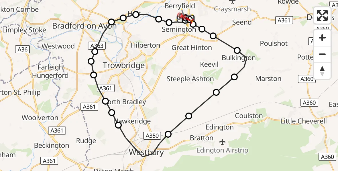
On Wednesday, 11 February 2026 at 12:07, a Air Ambulance Helicopter departed from Wiltshire Air Ambulance to Wiltshire Air Ambulance. It was the Air Ambulance Helicopter with registration number G-WLTS. The flight lasted 12 minutes. During that period, the aircraft travelled 22 miles at an average speed of 109 miles per hour at a maximum altitude of 1925 feet.
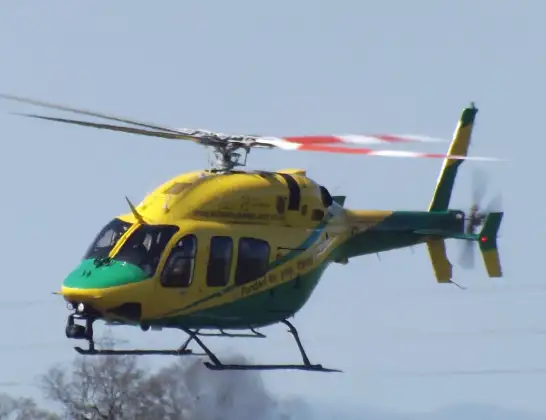
Helicopter: G-WLTS
The helicopter G-WLTS is used as a air ambulance helicopter. The main purpose of this aircraft is to transport a Mobile Medical Team to an incident as quickly as possible, enabling the trauma doctor to provide immediate first aid on site. The aircraft is flying this flight as Air Ambulance Helicopter.
Photo: James
22 miles
1925 feet
109 mph
12 minutes
12:07
12:19

Route
Wiltshire Air Ambulance12:19
Wiltshire Air Ambulance, 12:19
Melksham12:18
Semington12:18
Hilperton12:17
Holt12:17
Staverton12:17
South Wraxall12:16
Bradford-on-Avon12:16
Trowbridge12:16
Wingfield12:15
Southwick12:15
North Bradley12:15
Hawkeridge12:14
Westbury12:13
Bratton12:12
Steeple Ashton12:12
Keevil12:11
Bulkington12:10
Seend Cleeve12:10
Great Hinton12:10
Semington12:09
Trowbridge12:09
Commerce Way, 12:09
Melksham12:08
Wiltshire Air Ambulance12:07
Today
Helicopter flights on your website?
You can easily display helicopter flights on your own website. Use the embed code.
