Air Ambulance Helicopter to Preston, Sharoe Green Lane
Tuesday, 10 February 2026 | 18:08 | From Hutton Roof
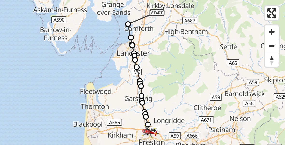
On Tuesday, 10 February 2026 at 18:08, a Air Ambulance Helicopter departed from Hutton Roof to Preston. It was the Air Ambulance Helicopter with registration number G-NWAA. The flight lasted 16 minutes. During that period, the aircraft travelled 33 miles at an average speed of 123 miles per hour at a maximum altitude of 2525 feet.
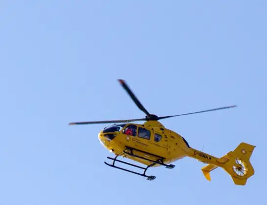
Helicopter: G-NWAA
The helicopter G-NWAA is used as a air ambulance helicopter. The main purpose of this aircraft is to transport a Mobile Medical Team to an incident as quickly as possible, enabling the trauma doctor to provide immediate first aid on site. The aircraft is flying this flight as Air Ambulance Helicopter.
Photo: David P Howard
34 miles
2525 feet
123 mph
17 minutes
18:08
18:24

Route
Sharoe Green Lane, Lancashire18:24
Preston, Lancashire18:22
Broughton, Preston18:21
Barton, Preston18:20
Wyre, Lancashire18:20
Broughton, Wyre18:19
Catterall, Wyre18:18
Bowgreave, Wyre18:18
Cabus, Wyre18:18
Scorton, Wyre18:17
Scorton, Preston18:17
Forton, Wyre18:16
Ellel, Lancaster18:15
Bailrigg, Lancaster18:14
Lancaster, Lancashire18:13
Aldcliffe, Lancaster18:13
Lancaster, Lancashire18:12
Slyne, Lancaster18:12
Hest Bank, Lancaster18:11
Lancaster, Lancashire18:10
Hutton Roof, Lancashire18:08
Live flights
Today
Police Helicopter to Epping Forest, Green Lane26 Feb 23:43
Flights Preston
Air Ambulance Helicopter to Cricklade, Waterhay23 Feb 16:54
Helicopter flights on your website?
You can easily display helicopter flights on your own website. Use the embed code.
