Air Ambulance Helicopter to Inverness, Ashton Road
Monday, 9 February 2026 | 22:28 | From Wick John O'Groats Airport
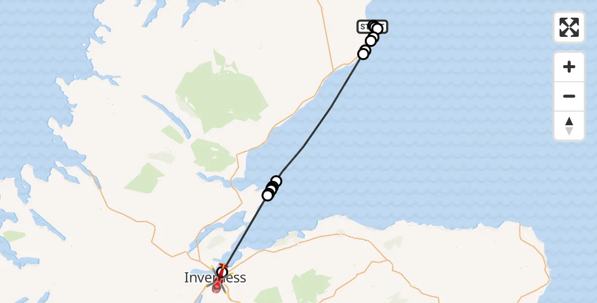
On Monday, 9 February 2026 at 22:28, a Air Ambulance Helicopter departed from Wick John O'Groats Airport to Inverness. It was the Air Ambulance Helicopter with registration number G-GSAS. The flight lasted 39 minutes. During that period, the aircraft travelled 81 miles at an average speed of 124 miles per hour at a maximum altitude of 2450 feet.
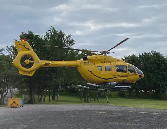
Helicopter: G-GSAS
The helicopter G-GSAS is used as a air ambulance helicopter. The main purpose of this aircraft is to transport a Mobile Medical Team to an incident as quickly as possible, enabling the trauma doctor to provide immediate first aid on site. The aircraft is flying this flight as Air Ambulance Helicopter.
Photo: Scanbus
81 miles
2450 feet
124 mph
40 minutes
22:28
23:07

Route
Ashton Road, 23:07
Inverness23:06
Hilton of Cadboll22:55
Portmahomack22:55
Rockfield22:54
Portmahomack22:54
Ballone Castle Airstrip, Tain, Ross22:54
Portmahomack22:53
North Sea22:34
Ulbster22:33
Sarclet22:32
Wick22:31
North Sea22:30
Papigoe22:29
Wick22:28
Wick John O'Groats Airport, Wick22:28
Today
Police Helicopter to Epping Forest, Green Lane26 Feb 23:43
Flights Inverness
Air Ambulance Helicopter to Tornagrain, A9626 Feb 16:30
Air Ambulance Helicopter to Inverness, Inverness25 Feb 18:37
Air Ambulance Helicopter to Inverness, Inverness25 Feb 11:59
Helicopter flights on your website?
You can easily display helicopter flights on your own website. Use the embed code.
