Police Helicopter to Newcastle upon Tyne, Newcastle upon Tyne
Monday, 9 February 2026 | 12:39 | From Newcastle International Airport
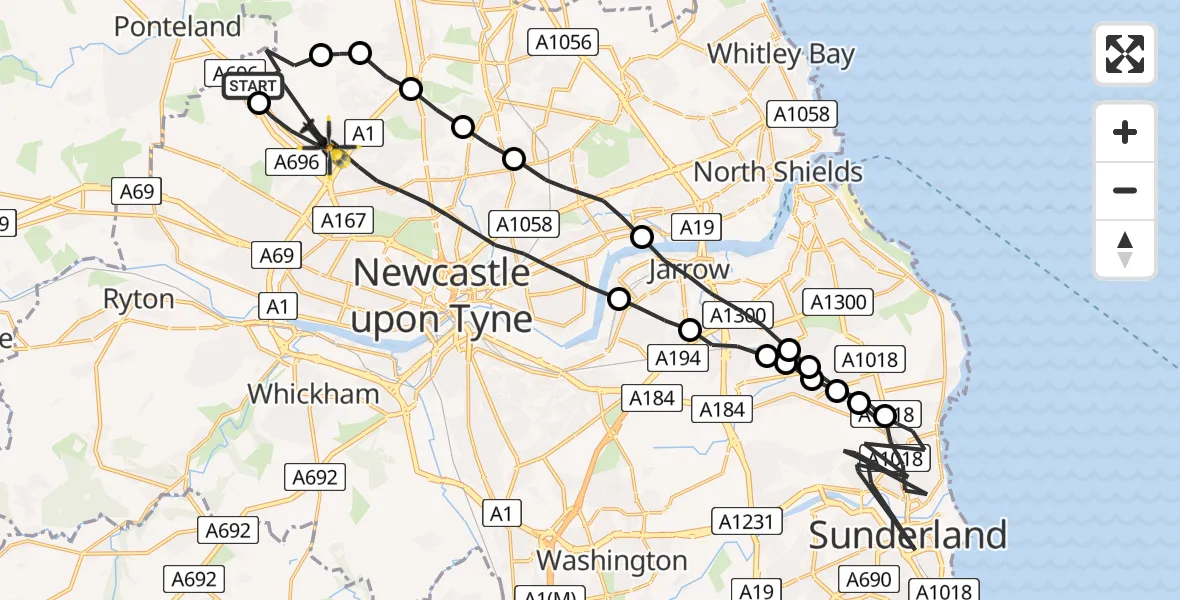
On Monday, 9 February 2026 at 12:39, a Police Helicopter departed from Newcastle International Airport to Newcastle upon Tyne. It was the Police Helicopter with registration number G-POLA. The flight lasted 19 minutes. During that period, the aircraft travelled 46 miles at an average speed of 144 miles per hour at a maximum altitude of 1500 feet.
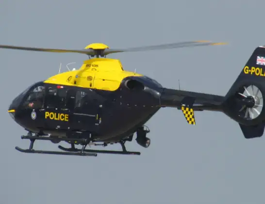
Helicopter: G-POLA
The helicopter G-POLA is used by the British police. The helicopter is deployed in pursuits, missing persons cases and other incidents where a helicopter provides added value.
Photo: ozz13x
46 miles
1500 feet
144 mph
20 minutes
12:39
12:58

Route
Newcastle upon Tyne, North East12:58
Newcastle International Airport, Newcastle upon Tyne, Tyne and Wear12:57
Dinnington, Newcastle upon Tyne12:56
Hazlerigg Village, Newcastle upon Tyne12:56
Newcastle upon Tyne, North East12:55
Forest Hall, North Tyneside12:55
Wallsend, North Tyneside12:53
Jarrow, South Tyneside12:52
East Boldon, South Tyneside12:52
Cleadon, South Tyneside12:51
Sunderland, North East12:46
Cleadon, South Tyneside12:45
East Boldon, South Tyneside12:45
West Boldon, South Tyneside12:45
East Boldon, South Tyneside12:45
Jarrow, South Tyneside12:44
Hebburn, South Tyneside12:43
Newcastle upon Tyne, North East12:39
Newcastle International Airport, Newcastle upon Tyne, Tyne and Wear12:39
Live flights
Today
Police Helicopter to Epping Forest, Green Lane26 Feb 23:43
Helicopter flights on your website?
You can easily display helicopter flights on your own website. Use the embed code.
