Air Ambulance Helicopter to City of Nottingham, Aspley Lane
Sunday, 8 February 2026 | 15:49 | From Widmerpool
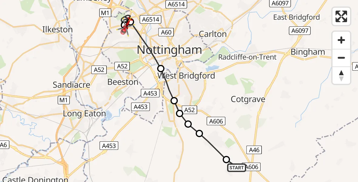
On Sunday, 8 February 2026 at 15:49, a Air Ambulance Helicopter departed from Widmerpool to City of Nottingham. It was the Air Ambulance Helicopter with registration number G-DRLA. The flight lasted 7 minutes. During that period, the aircraft travelled 14 miles at an average speed of 119 miles per hour at a maximum altitude of 1250 feet.
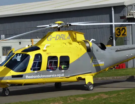
Helicopter: G-DRLA
The helicopter G-DRLA is used as an ambulance helicopter. The helicopter is equipped with a stretcher for transporting patients. The helicopter is often used to transport to hospitals.
Photo: Alec Wilson
15 miles
1250 feet
119 mph
8 minutes
15:49
15:56

Route
Aspley Lane, East Midlands15:56
City of Nottingham, East Midlands15:56
Bulwell, City of Nottingham15:52
City of Nottingham, East Midlands15:51
West Bridgford, Rushcliffe15:50
Ruddington, West Bridgford15:50
Ruddington, Rushcliffe15:50
Bradmore, Rushcliffe15:50
Keyworth, Rushcliffe15:49
Station Road, Rushcliffe15:49
Live flights
Today
Police Helicopter to Epping Forest, Green Lane26 Feb 23:43
Flights Widmerpool
Air Ambulance Helicopter to East Leake, Ash Lane22 Feb 16:31
Air Ambulance Helicopter to Derby, Olive Street20 Feb 15:32
Air Ambulance Helicopter to Derby, Vernongate20 Feb 14:21
Air Ambulance Helicopter to Mackworth, Brun Lane17 Feb 13:27
Helicopter flights on your website?
You can easily display helicopter flights on your own website. Use the embed code.
