Police Helicopter to Bristol, Gauting Road
Sunday, 8 February 2026 | 12:07 | From Almondsbury Helicopter Base
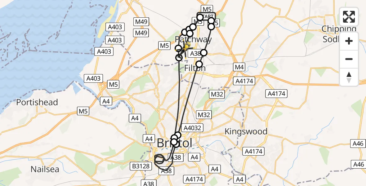
On Sunday, 8 February 2026 at 12:07, a Police Helicopter departed from Almondsbury Helicopter Base to Bristol. It was the Police Helicopter with registration number G-EMID. The flight lasted 17 minutes. During that period, the aircraft travelled 24 miles at an average speed of 86 miles per hour at a maximum altitude of 1850 feet.
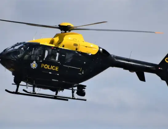
Helicopter: G-EMID
The helicopter G-EMID is used by the British police. The helicopter is deployed in pursuits, missing persons cases and other incidents where a helicopter provides added value.
Photo: Alec Wilson
25 miles
1850 feet
86 mph
18 minutes
12:07
12:24

Route
Gauting Road, West of England12:24
Patchway, West of England12:24
Almondsbury Helicopter Base, Bristol, Somerset12:24
Bristol, West of England12:24
Patchway, West of England12:24
Bristol, West of England12:23
Patchway, West of England12:23
Bristol Filton Airport, Bristol, Somerset12:22
Bristol, West of England12:21
Bristol Children's Hospital, Bristol12:21
Bristol, West of England12:11
Bristol Royal Infirmary, Bristol12:11
Bristol, West of England12:09
Stoke Gifford, West of England12:09
Bristol, West of England12:08
Woodlands, West of England12:08
Almondsbury Helicopter Base, Bristol, Somerset12:07
Live flights
Today
Flights Bristol
Police Helicopter to Bristol, Diana Gardens14 Jul 00:58
Police Helicopter to Bristol, Oaktree Crescent10 Jul 12:36
Helicopter flights on your website?
You can easily display helicopter flights on your own website. Use the embed code.
