Air Ambulance Helicopter to Oxford, Headley Way
Saturday, 7 February 2026 | 17:49 | From Great Coxwell
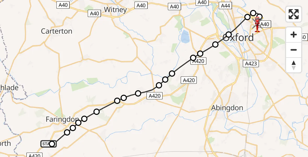
On Saturday, 7 February 2026 at 17:49, a Air Ambulance Helicopter departed from Great Coxwell to Oxford. It was the Air Ambulance Helicopter with registration number G-WLTS. The flight lasted 14 minutes. During that period, the aircraft travelled 21 miles at an average speed of 89 miles per hour at a maximum altitude of 1825 feet.
Helicopter: G-WLTS
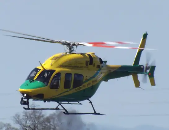
The helicopter G-WLTS is used as a air ambulance helicopter. The main purpose of this aircraft is to transport a Mobile Medical Team to an incident as quickly as possible, enabling the trauma doctor to provide immediate first aid on site. The aircraft is flying this flight as Air Ambulance Helicopter.
Photo: James
21 miles
1825 feet
89 mph
15 minutes
17:49
18:03

Route
Oxford18:03
Headley Way, 18:02
Headley Way, 18:00
Oxford17:58
Elsfield, South Oxfordshire17:58
Marston, Oxford17:57
Oxford17:57
Botley and North Hinksey, Vale of White Horse17:56
Cumnor, Vale of White Horse17:56
Henwood, Vale of White Horse17:55
Appleton, Vale of White Horse17:55
West Oxfordshire17:54
Fyfield, Vale of White Horse17:54
Longworth, Vale of White Horse17:53
Hinton Waldrist, Vale of White Horse17:53
Vale of White Horse17:53
Buckland, Vale of White Horse17:52
Hatford, Vale of White Horse17:51
Stanford in the Vale, Faringdon17:51
Shellingford, Faringdon17:51
Faringdon, Vale of White Horse17:51
Little Coxwell, Faringdon17:50
Faringdon Road, Vale of White Horse17:49
Great Coxwell, Vale of White Horse17:49
Today
Police Helicopter to Epping Forest, Green Lane26 Feb 23:43
Flights Oxford
Air Ambulance Helicopter to Oxford, Headley Way23 Feb 17:51
Police Helicopter to Ewelme, The Sands29 Jan 15:52
Police Helicopter to Oxford, Morrell Avenue29 Jan 15:22
Air Ambulance Helicopter to Oxford, Headley Way13 Jan 13:28
Helicopter flights on your website?
You can easily display helicopter flights on your own website. Use the embed code.
