Police Helicopter to MOD St Athan, MOD St Athan
Saturday, 7 February 2026 | 17:36 | From Llanmaes
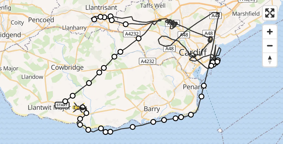
On Saturday, 7 February 2026 at 17:36, a Police Helicopter departed from Llanmaes to MOD St Athan. It was the Police Helicopter with registration number G-NWOI. The flight lasted 64 minutes. During that period, the aircraft travelled 101 miles at an average speed of 95 miles per hour at a maximum altitude of 2250 feet.
Helicopter: G-NWOI
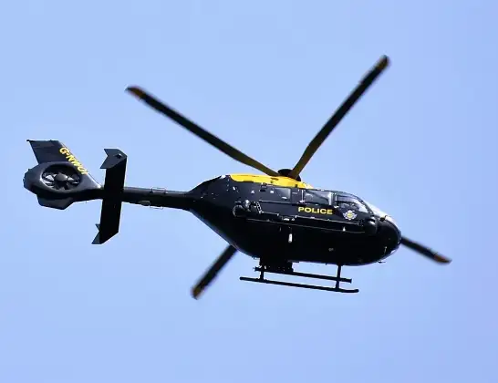
The helicopter G-NWOI is used by the British police. The helicopter is deployed in pursuits, missing persons cases and other incidents where a helicopter provides added value.
Photo: Alec Wilson
102 miles
2250 feet
95 mph
65 minutes
17:36
18:40

Route
MOD St Athan, St Athan, Vale of Glamorgan18:40
MOD St Athan, St Athan, Vale of Glamorgan18:40
St Athan18:40
Gileston18:39
St Athan18:39
West Aberthaw18:38
East Aberthaw18:38
Rhoose18:37
Bristol Channel18:37
Rhoose18:36
Barry18:35
Sully and Lavernock18:35
Sully18:34
Sully and Lavernock18:34
Sully18:33
Sully and Lavernock18:32
Penarth18:32
Cardiff18:21
Cardiff Heliport, Cardiff18:20
Cardiff18:20
Tremorfa18:18
Cardiff18:14
Tremorfa18:14
Cardiff17:46
Groes-faen17:46
Llantrisant17:45
Pontyclun17:44
Llantrisant17:44
Pont-y-Clun17:44
Cardiff17:39
Peterston-super-Ely17:39
Pendoylan17:38
Bonvilston17:38
Llancarfan17:38
St Hilary17:37
St Mary Church17:36
Eglwys Brewis17:36
Llanmaes, 17:36
Today
Police Helicopter to Epping Forest, Green Lane26 Feb 23:43
Flights Llanmaes
Police Helicopter to MOD St Athan, MOD St Athan19 Feb 14:27
Police Helicopter to Boverton, B42654 Feb 16:13
to Pyle, Ffordd yr Eglwys23 Jan 10:37
Police Helicopter to Llanmaes, Llanmaes20 Jan 13:12
Helicopter flights on your website?
You can easily display helicopter flights on your own website. Use the embed code.
