Air Ambulance Helicopter to Pennington, Stratford Place
Friday, 6 February 2026 | 20:44 | From Thruxton Aerodrome
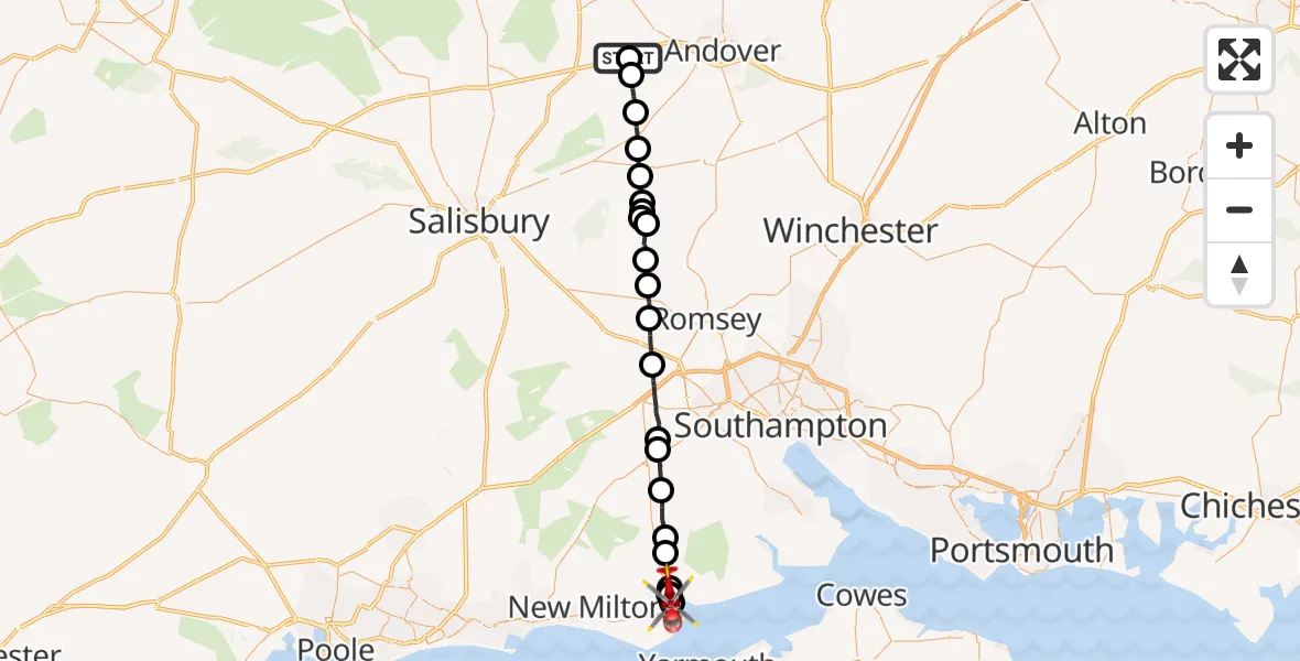
On Friday, 6 February 2026 at 20:44, a Air Ambulance Helicopter departed from Thruxton Aerodrome to Pennington. It was the Air Ambulance Helicopter with registration number G-HIOW. The flight lasted 19 minutes. During that period, the aircraft travelled 33 miles at an average speed of 108 miles per hour at a maximum altitude of 2175 feet.
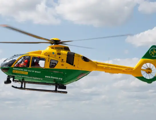
Helicopter: G-HIOW
The helicopter G-HIOW is used as a air ambulance helicopter. The main purpose of this aircraft is to transport a Mobile Medical Team to an incident as quickly as possible, enabling the trauma doctor to provide immediate first aid on site. The aircraft is flying this flight as Air Ambulance Helicopter.
Photo: JF2608
34 miles
2175 feet
108 mph
19 minutes
20:44
21:03

Route
Pennington, Lymington21:03
Pennington, Lymington21:02
Walhampton, Lymington21:02
Stratford Place, Lymington21:01
Pennington, Lymington21:00
Walhampton, Lymington21:00
Boldre, New Forest20:59
Brockenhurst, New Forest20:58
New Forest20:57
Lyndhurst, New Forest20:56
New Forest20:56
Copythorne, New Forest20:53
Wellow, Test Valley20:52
Sherfield English, Test Valley20:51
Lockerley, Test Valley20:50
East Tytherley, Test Valley20:49
West Tytherley, Test Valley20:49
East Tytherley, Test Valley20:49
Broughton, Test Valley20:49
Test Valley20:48
Nether Wallop, Test Valley20:47
Over Wallop, Test Valley20:46
Grateley, Test Valley20:45
Thruxton, Test Valley20:44
Thruxton Aerodrome, Andover, Hampshire20:44
Live flights
Today
Police Helicopter to Epping Forest, Green Lane26 Feb 23:43
Flights Pennington
Helicopter flights on your website?
You can easily display helicopter flights on your own website. Use the embed code.
