Air Ambulance Helicopter to Dinnington, Chapel Lane
Friday, 6 February 2026 | 9:13 | From Henstridge Airfield
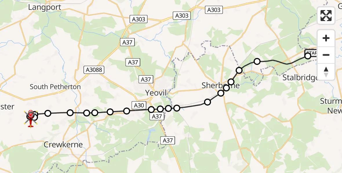
On Friday, 6 February 2026 at 9:13, a Air Ambulance Helicopter departed from Henstridge Airfield to Dinnington. It was the Air Ambulance Helicopter with registration number G-DSAA. The flight lasted 19 minutes. During that period, the aircraft travelled 26 miles at an average speed of 83 miles per hour at a maximum altitude of 1850 feet.
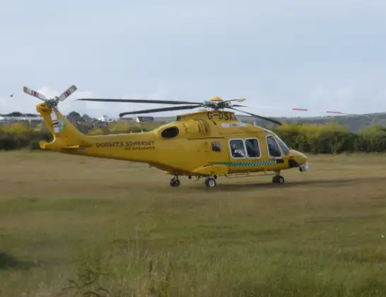
Helicopter: G-DSAA
The helicopter G-DSAA is used as a air ambulance helicopter. The main purpose of this aircraft is to transport a Mobile Medical Team to an incident as quickly as possible, enabling the trauma doctor to provide immediate first aid on site. The aircraft is flying this flight as Air Ambulance Helicopter.
Photo: Andrew Bone
26 miles
1850 feet
83 mph
19 minutes
09:13
09:32

Route
Chapel Lane, 09:32
Chapel Lane, 09:31
Dinnington09:28
Kingstone09:28
Dinnington09:28
Kingstone09:28
Hinton St George09:27
Merriott09:26
West Chinnock09:26
Middle Chinnock Airstrip, Yeovil, Somerset09:25
East Chinnock09:25
West Coker09:25
East Coker09:24
Barwick09:23
Stoford09:23
Bradford Abbas09:23
Castleton09:22
Sherborne09:22
Castleton09:21
Sherborne09:21
Oborne09:20
Milborne Port09:20
Henstridge09:17
Henstridge Airfield, Templecombe, Somerset09:16
Henstridge Airfield, Templecombe, Somerset09:13
Live flights
Today
Flights Dinnington
Police Helicopter to Dinnington, Dinnington Road10 Apr 00:47
Police Helicopter to Dinnington8 Apr 23:45
Police Helicopter to Dinnington, Mitford Way31 Mar 21:31
Police Helicopter to Dinnington, Dinnington Road28 Mar 20:24
Helicopter flights on your website?
You can easily display helicopter flights on your own website. Use the embed code.
