Police Helicopter to Bristol, Waterside Drive
Thursday, 5 February 2026 | 10:42 | From Almondsbury Helicopter Base
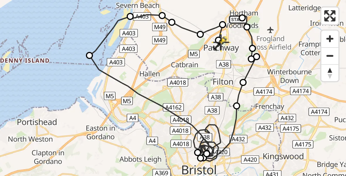
On Thursday, 5 February 2026 at 10:42, a Police Helicopter departed from Almondsbury Helicopter Base to Bristol. It was the Police Helicopter with registration number G-EMID. The flight lasted 24 minutes. During that period, the aircraft travelled 38 miles at an average speed of 95 miles per hour at a maximum altitude of 1875 feet.
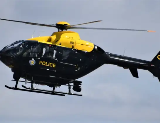
Helicopter: G-EMID
The helicopter G-EMID is used by the British police. The helicopter is deployed in pursuits, missing persons cases and other incidents where a helicopter provides added value.
Photo: Alec Wilson
38 miles
1875 feet
95 mph
24 minutes
10:42
11:06

Route
Waterside Drive, West of England11:06
Patchway, West of England11:05
Almondsbury, West of England11:05
Bristol, West of England11:05
Easter Compton, West of England11:04
Pilning, West of England11:04
Severn Beach, West of England11:03
Bristol Channel11:01
Bristol, West of England10:54
Bristol Royal Infirmary Helipad, Bristol10:54
Bristol, West of England10:46
Bristol Royal Infirmary Helipad, Bristol10:46
Bristol, West of England10:44
Harry Stoke, West of England10:44
Bristol, West of England10:44
Bradley Stoke, West of England10:43
Bristol, West of England10:43
Bradley Stoke, West of England10:43
Woodlands, West of England10:42
Almondsbury Helicopter Base, Bristol, Somerset10:42
Live flights
Today
Flights Bristol
Police Helicopter to Bristol, Diana Gardens14 Jul 00:58
Police Helicopter to Bristol, Oaktree Crescent10 Jul 12:36
Helicopter flights on your website?
You can easily display helicopter flights on your own website. Use the embed code.
