Police Helicopter to MOD St Athan, MOD St Athan
Wednesday, 4 February 2026 | 18:32 | From Trefechan
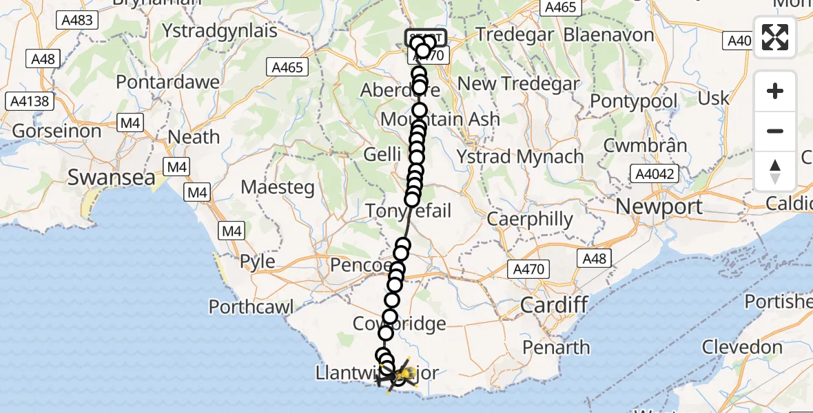
On Wednesday, 4 February 2026 at 18:32, a Police Helicopter departed from Trefechan to MOD St Athan. It was the Police Helicopter with registration number G-NWOI. The flight lasted 13 minutes. During that period, the aircraft travelled 28 miles at an average speed of 128 miles per hour at a maximum altitude of 3350 feet.
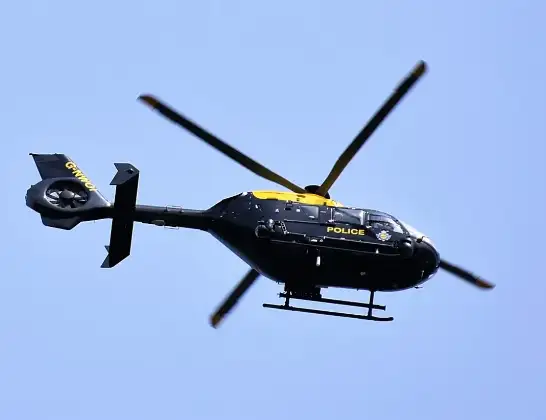
Helicopter: G-NWOI
The helicopter G-NWOI is used by the British police. The helicopter is deployed in pursuits, missing persons cases and other incidents where a helicopter provides added value.
Photo: Alec Wilson
29 miles
3350 feet
128 mph
14 minutes
18:32
18:46

Route
MOD St Athan, St Athan, Vale of Glamorgan18:46
MOD St Athan, St Athan, Vale of Glamorgan18:45
Boverton18:45
Llanmaes18:44
Llantwit Major18:44
Sigingstone18:43
Cowbridge18:43
Pen-y-lan18:42
Graig Penllyn18:42
Brynsadler18:42
Llanharan18:41
Bryncae18:41
Llanharan18:41
Tonyrefail18:39
Trebanog18:39
Porth18:39
Dinas18:38
Ynyshir18:38
Wattstown18:38
Ferndale18:37
Tylorstown18:37
Ynysybwl and Coed-y-cwm18:37
Aberaman South18:37
Abercwmboi18:36
Cwmbach18:35
Aberdare East18:35
Abernant18:35
Merthyr Tydfil18:34
Trefechan18:34
Pant18:34
Ty Newydd Heights, 18:32
Live flights
Today
Police Helicopter to Epping Forest, Green Lane26 Feb 23:43
Flights Trefechan
Police Helicopter to Trefechan, Lôn Maes Du4 Feb 18:01
Helicopter flights on your website?
You can easily display helicopter flights on your own website. Use the embed code.
