Police Helicopter to Trefechan, Lôn Maes Du
Wednesday, 4 February 2026 | 18:01 | From MOD St Athan
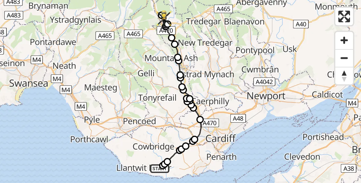
On Wednesday, 4 February 2026 at 18:01, a Police Helicopter departed from MOD St Athan to Trefechan. It was the Police Helicopter with registration number G-NWOI. The flight lasted 29 minutes. During that period, the aircraft travelled 35 miles at an average speed of 72 miles per hour at a maximum altitude of 3250 feet.
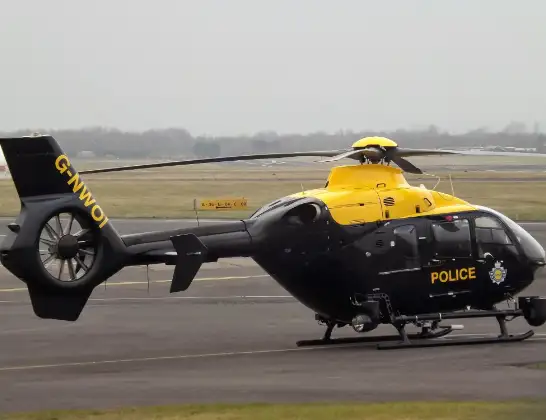
Helicopter: G-NWOI
The helicopter G-NWOI is used by the British police. The helicopter is deployed in pursuits, missing persons cases and other incidents where a helicopter provides added value.
Photo: James from Cheltenham
35 miles
3250 feet
72 mph
30 minutes
18:01
18:31

Route
Lôn Maes Du, 18:31
Vaynor18:26
Prince Charles Hospital Helipad, Merthyr Tydfil18:24
Trefechan18:18
Merthyr Tydfil18:17
Abercanaid18:16
Aberfan18:15
Merthyr Vale18:15
Abercynon18:14
Glyncoch18:14
Glyncoch, Pontypridd18:13
Graigwen, Pontypridd18:13
Rhydyfelin, Pontypridd18:12
Hawthorn, Pontypridd18:11
Rhydyfelin18:11
Upper Boat, Pontypridd18:11
Rhydyfelin, Pontypridd18:10
Hawthorn, Pontypridd18:10
Upper Boat18:10
Efail Isaf18:09
Gwaelod-y-garth18:08
Cardiff18:06
Drope18:06
St Nicholas18:05
Bonvilston18:05
St Nicholas and Bonvilston18:04
Llancarfan18:03
St. Athan18:02
Flemingston18:02
MOD St Athan, St Athan, Vale of Glamorgan18:01
Live flights
Today
Police Helicopter to Epping Forest, Green Lane26 Feb 23:43
Flights Trefechan
Police Helicopter to Trefechan, Lôn Maes Du4 Feb 18:01
Helicopter flights on your website?
You can easily display helicopter flights on your own website. Use the embed code.
