Coastguard Helicopter to Connor Downs, St Ives Lane
Wednesday, 4 February 2026 | 17:33 | From Bristol Channel
On Wednesday, 4 February 2026 at 17:33, a Coastguard Helicopter departed from Bristol Channel to Connor Downs. It was the Coastguard Helicopter with registration number G-MCGF. The flight lasted 55 minutes. During that period, the aircraft travelled 46 miles at an average speed of 51 miles per hour at a maximum altitude of 1550 feet.
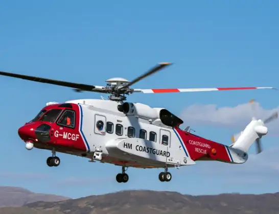
Helicopter: G-MCGF
The helicopter G-MCGF is used by the British Coastguard. The helicopter is deployed in search and rescue operations at sea, rescue operations involving ships or drilling platforms, patrols to prevent smuggling or piracy, environmental monitoring and disaster relief support.
Photo: The Carlisle Kid
47 miles
1550 feet
51 mph
56 minutes
17:33
18:29

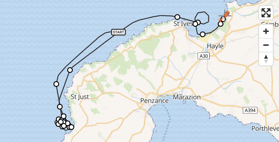
Route
St Ives Lane, 18:29
Connor Downs18:28
Gwinear-Gwithian18:25
Phillack, Hayle18:17
Carbis Bay, St. Ives18:16
Bristol Channel18:14
St. Ives18:13
Bristol Channel18:08
North Atlantic Ocean18:07
English Channel18:06
Mayon18:05
Sennen Cove18:01
English Channel17:57
Sennen Cove17:56
Mayon17:56
English Channel17:50
Sennen Cove17:50
Mayon17:50
English Channel17:43
Sennen Cove17:43
English Channel17:41
Sennen Cove17:41
Mayon17:40
Sennen Cove17:39
English Channel17:39
North Atlantic Ocean17:37
Bristol Channel, 17:33
Today
Police Helicopter to Epping Forest, Green Lane26 Feb 23:43
Helicopter flights on your website?
You can easily display helicopter flights on your own website. Use the embed code.
