Air Ambulance Helicopter to Dalton-in-Furness, Kepplewray Drive
Wednesday, 4 February 2026 | 16:33 | From Blackpool Airport
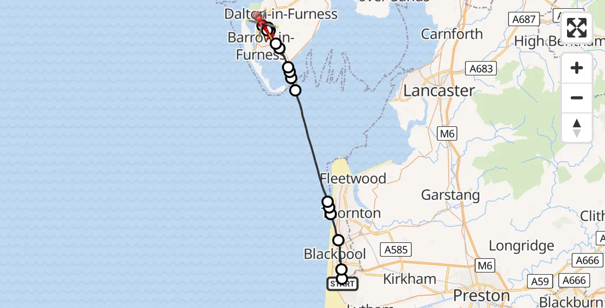
On Wednesday, 4 February 2026 at 16:33, a Air Ambulance Helicopter departed from Blackpool Airport to Dalton-in-Furness. It was the Air Ambulance Helicopter with registration number G-NWAA. The flight lasted 17 minutes. During that period, the aircraft travelled 31 miles at an average speed of 111 miles per hour at a maximum altitude of 1625 feet.
Helicopter: G-NWAA
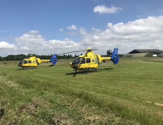
The helicopter G-NWAA is used as a air ambulance helicopter. The main purpose of this aircraft is to transport a Mobile Medical Team to an incident as quickly as possible, enabling the trauma doctor to provide immediate first aid on site. The aircraft is flying this flight as Air Ambulance Helicopter.
Photo: Legion23
32 miles
1625 feet
111 mph
18 minutes
16:33
16:50

Route
Kepplewray Drive, 16:50
Barrow-in-Furness16:48
Barrow in Furness General, Barrow in Furness16:48
Barrow-in-Furness16:45
Dalton-in-Furness16:44
Barrow-in-Furness16:43
Leece16:43
Rampside16:42
Roa Island16:42
Rampside16:41
Roa Island16:41
Irish Sea16:37
Cleveleys, Wyre16:36
Little Bispham, Lancashire16:36
Bispham, Lancashire16:35
Blackpool, Lancashire16:34
Common Edge, Lancashire16:34
Sir Frank Whittle Way, Lancashire16:33
Live flights
Today
Air Ambulance Helicopter to Redhill Aerodrome14 Jul 23:46
Coastguard Helicopter to Humberside Airport14 Jul 23:44
Police Helicopter to Johnstone, Gordon Square14 Jul 23:38
Coastguard Helicopter to North Sea14 Jul 23:30
Police Helicopter to Inner Seas14 Jul 23:12
Air Ambulance Helicopter to Norwich Airport14 Jul 22:52
Flights Dalton-in-Furness
Air Ambulance Helicopter to Langwathby4 Jul 17:05
Helicopter flights on your website?
You can easily display helicopter flights on your own website. Use the embed code.
