Air Ambulance Helicopter to Stevenage, Hitchin Road
Wednesday, 4 February 2026 | 13:26 | From Leighton Buzzard
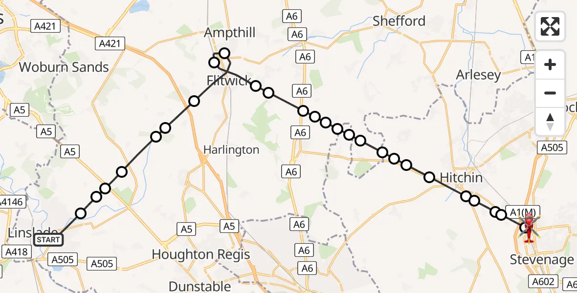
On Wednesday, 4 February 2026 at 13:26, a Air Ambulance Helicopter departed from Leighton Buzzard to Stevenage. It was the Air Ambulance Helicopter with registration number G-EHAT. The flight lasted 17 minutes. During that period, the aircraft travelled 26 miles at an average speed of 91 miles per hour at a maximum altitude of 1700 feet.
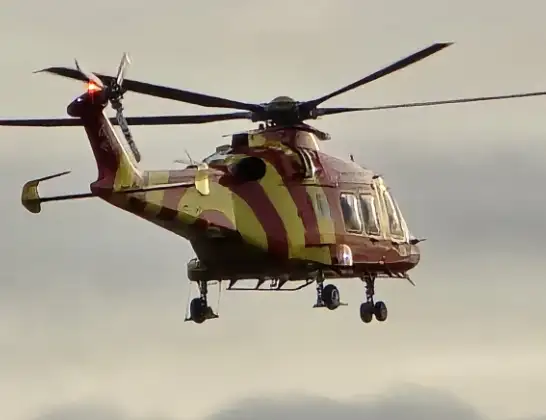
Helicopter: G-EHAT
The helicopter G-EHAT is used as a air ambulance helicopter. The main purpose of this aircraft is to transport a Mobile Medical Team to an incident as quickly as possible, enabling the trauma doctor to provide immediate first aid on site. The aircraft is flying this flight as Air Ambulance Helicopter.
Photo: By Steve Knight
26 miles
1700 feet
91 mph
17 minutes
13:26
13:43

Route
Stevenage13:43
Hitchin Road, 13:43
Stevenage13:42
Todds Green, North Hertfordshire13:40
Little Wymondley, North Hertfordshire13:40
St Ippolyts, North Hertfordshire13:39
Gosmore, North Hertfordshire13:39
Hitchin, North Hertfordshire13:38
Offley, Hitchin13:38
Offley, North Hertfordshire13:37
Pirton13:37
Shillington13:37
Hexton, North Hertfordshire13:36
Hexton13:36
Shillington13:36
Barton-le-Clay13:36
Silsoe13:35
Pulloxhill13:35
Greenfield13:34
Flitwick13:33
Ampthill13:33
Flitwick13:31
Tingrith13:30
Toddington13:30
Milton Bryan13:29
Battlesden13:29
Hockliffe13:28
Eggington13:28
Grove Road, 13:26
Live flights
Police Helicopter on its way from Dundrod12 Jul 22:50
Today
Police Helicopter to East Ardsley, Stoney Lane12 Jul 23:51
Police Helicopter to Birmingham Airport12 Jul 23:46
Air Ambulance Helicopter to Newlands of Culloden12 Jul 23:24
Flights Stevenage
Air Ambulance Helicopter to North Weald Airfield29 May 12:28
Air Ambulance Helicopter to North Weald Airfield24 May 14:21
Air Ambulance Helicopter to North Weald Airfield20 May 12:51
Air Ambulance Helicopter to Luton, Moor Path4 May 12:10
Helicopter flights on your website?
You can easily display helicopter flights on your own website. Use the embed code.
