Air Ambulance Helicopter to Stonehouse, Stonedale Road
Tuesday, 3 February 2026 | 15:51 | From Almondsbury Helicopter Base
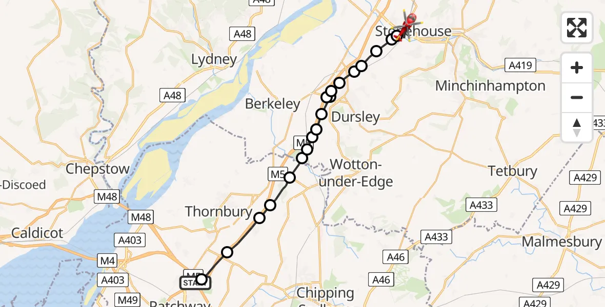
On Tuesday, 3 February 2026 at 15:51, a Air Ambulance Helicopter departed from Almondsbury Helicopter Base to Stonehouse. It was the Air Ambulance Helicopter with registration number G-GWAC. The flight lasted 11 minutes. During that period, the aircraft travelled 21 miles at an average speed of 112 miles per hour at a maximum altitude of 1600 feet.
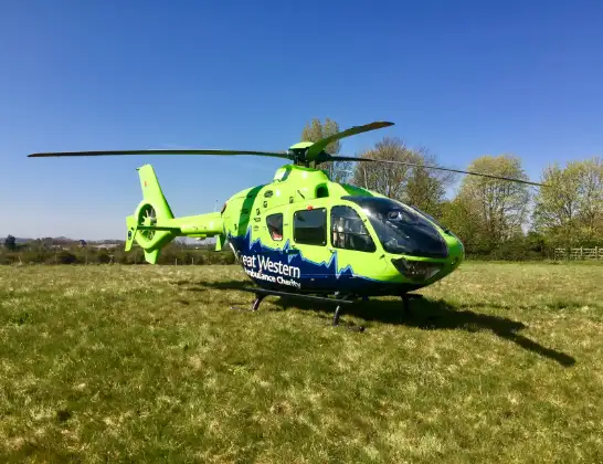
Helicopter: G-GWAC
The helicopter G-GWAC is used as a air ambulance helicopter. The main purpose of this aircraft is to transport a Mobile Medical Team to an incident as quickly as possible, enabling the trauma doctor to provide immediate first aid on site. The aircraft is flying this flight as Air Ambulance Helicopter.
Photo: Mojo0306
21 miles
1600 feet
112 mph
12 minutes
15:51
16:02

Route
Stonedale Road, 16:02
Stonehouse15:59
Eastington, Stroud15:59
Frocester, Stroud15:58
Coaley, Stroud15:58
Stroud15:58
Cam, Stroud15:57
Stinchcombe, Stroud15:57
Stinchcombe, Dursley15:57
Stinchcombe, Stroud15:57
Stinchcombe, Dursley15:56
Stroud15:56
North Nibley, Stroud15:56
Michaelwood Airstrip15:55
Stroud15:55
Tortworth, West of England15:55
Cromhall, West of England15:54
Milbury Heath, West of England15:53
Tytherington, West of England15:52
Hortham, West of England15:51
Almondsbury Helicopter Base, Bristol, Somerset15:51
Live flights
Today
Flights Stonehouse
Air Ambulance Helicopter to Tewkesbury, A408 May 13:11
Air Ambulance Helicopter to Stonehouse20 Apr 14:33
Air Ambulance Helicopter to Stonehouse20 Apr 09:48
Air Ambulance Helicopter to Stonehouse20 Apr 09:33
Helicopter flights on your website?
You can easily display helicopter flights on your own website. Use the embed code.
