Air Ambulance Helicopter to Redhill Aerodrome
Saturday, 31 January 2026 | 11:41 | From Sevenoaks Weald
On Saturday, 31 January 2026 at 11:41, a Air Ambulance Helicopter departed from Sevenoaks Weald to Redhill Aerodrome. It was the Air Ambulance Helicopter with registration number G-LNAC. The flight lasted 12 minutes. During that period, the aircraft travelled 17 miles at an average speed of 84 miles per hour at a maximum altitude of 1775 feet.
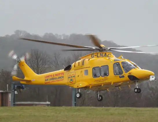
Helicopter: G-LNAC
The helicopter G-LNAC is used as a air ambulance helicopter. The main purpose of this aircraft is to transport a Mobile Medical Team to an incident as quickly as possible, enabling the trauma doctor to provide immediate first aid on site. The aircraft is flying this flight as Air Ambulance Helicopter.
Photo: James from Cheltenham, Gloucestershire
17 miles
1775 feet
84 mph
13 minutes
11:41
11:53

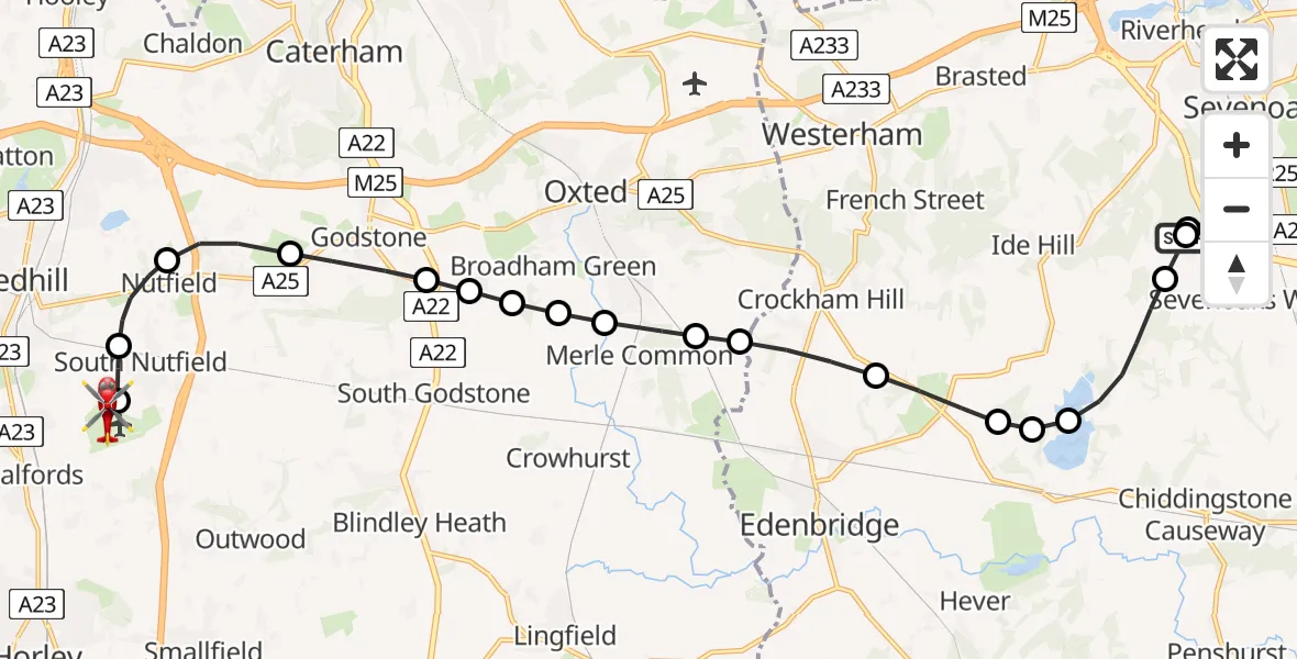
Route
Redhill Aerodrome, Redhill, Surrey11:53
Redhill Aerodrome, Redhill, Surrey11:52
Redhill Aerodrome, Redhill, Surrey11:50
South Nutfield11:50
Nutfield11:49
Bletchingley11:48
Godstone11:47
Tandridge11:47
Broadham Green11:47
Broadham Green, Oxted11:46
Merle Common, Oxted11:46
Merle Common11:46
Tandridge11:45
Crockham Hill, Sevenoaks11:45
Hever, Sevenoaks11:44
Sevenoaks11:44
Bough Beech Reservoir11:43
Sevenoaks11:42
Sevenoaks Weald, Sevenoaks11:42
Riverhead, Sevenoaks11:41
White House Road, Sevenoaks11:41
Live flights
Police Helicopter on its way from Renfrew15 Jul 23:02
Today
Police Helicopter to Coopersale, Epping Road15 Jul 23:07
Air Ambulance Helicopter to Dunkeswell Airfield15 Jul 23:01
Police Helicopter to Manchester Barton Aerodrome15 Jul 22:25
Police Helicopter to Baxterley Aerodrome15 Jul 22:24
Air Ambulance Helicopter to Henstridge Airfield15 Jul 22:14
Coastguard Helicopter to Argyll and Bute, B84515 Jul 22:05
Police Helicopter to MOD St Athan15 Jul 21:51
Helicopter flights on your website?
You can easily display helicopter flights on your own website. Use the embed code.
