Police Helicopter to Calderdale, Threap Croft
Saturday, 31 January 2026 | 9:17 | From Worsthorne
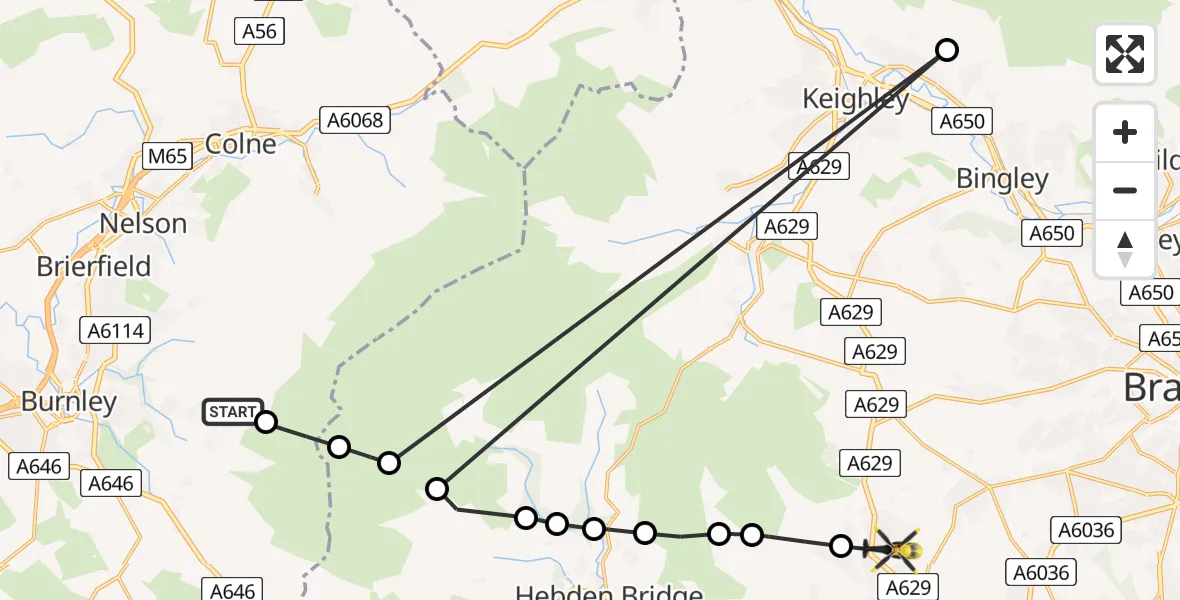
On Saturday, 31 January 2026 at 9:17, a Police Helicopter departed from Worsthorne to Calderdale. It was the Police Helicopter with registration number G-EMID. The flight lasted 6 minutes. During that period, the aircraft travelled 35 miles at an average speed of 374 miles per hour at a maximum altitude of 2525 feet.
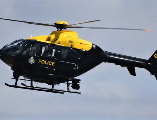
Helicopter: G-EMID
The helicopter G-EMID is used by the British police. The helicopter is deployed in pursuits, missing persons cases and other incidents where a helicopter provides added value.
Photo: Alec Wilson
36 miles
2525 feet
374 mph
6 minutes
09:17
09:23

Route
Threap Croft, West Yorkshire09:23
Mount Tabor, Calderdale09:22
Wainstalls, Calderdale09:22
Hebden Bridge, Calderdale09:21
Chiserley, Calderdale09:21
Old Town, Calderdale09:20
Slack Top, Calderdale09:20
Heptonstall, Calderdale09:20
Calderdale, West Yorkshire09:19
Sandbeds, Keighley09:19
Calderdale, West Yorkshire09:19
Heptonstall, Calderdale09:18
Burnley, Lancashire09:17
Gorple Road, Burnley09:17
Live flights
Today
Police Helicopter to Epping Forest, Green Lane26 Feb 23:43
Flights Calderdale
Police Helicopter to Calderdale, Threap Croft31 Jan 09:17
Flights Worsthorne
Police Helicopter to Calderdale, Threap Croft31 Jan 09:17
Helicopter flights on your website?
You can easily display helicopter flights on your own website. Use the embed code.
